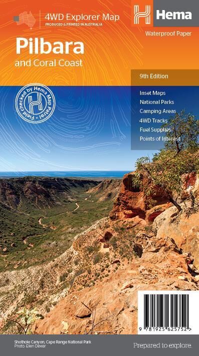
Hema Pilbara & Coral Coast Map (9th Edition)
Brand: Hema Maps
Part number: 9781925625752
DETAILS
Overview
Explore the Coral Coast and the Pilbara gorges
From the turquoise water of Shark Bay and Ningaloo Reef to the red gorges of Karijini, this waterproof Hema map covers the northern reaches of Western Australia. It shows the roads, 4WD tracks, fuel and camps you need to plan and drive the trip.

Hema Maps has been mapping Australia since 1983. Its maps are field checked by the Hema Map Patrol, the team that drives Australia's roads and tracks to check the mapping first-hand.
What's on the map
Reef, gorges and outback on one sheet
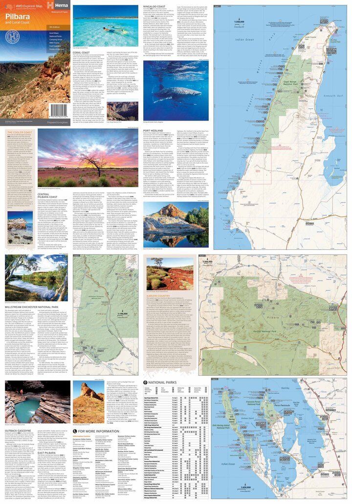
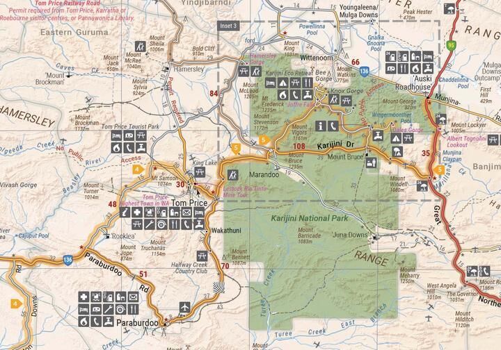
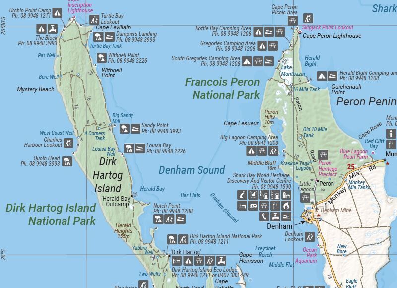
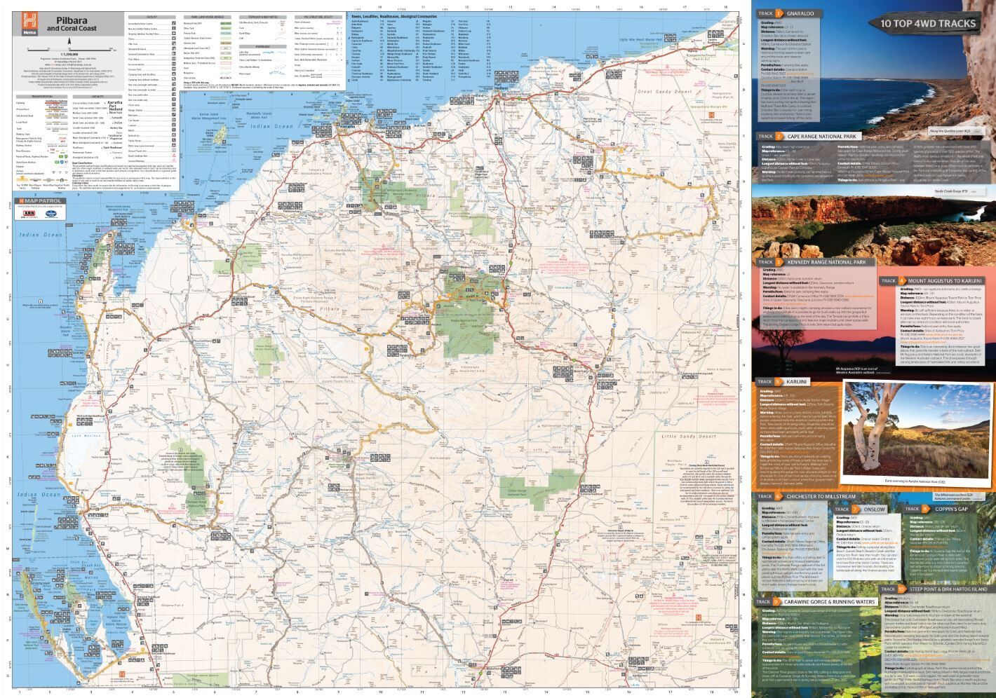
The main map takes in the marine attractions around Shark Bay, Francois Peron National Park and Ningaloo Reef, then stretches inland to the gorges of Karijini, Millstream Chichester National Park and Marble Bar. Detailed inset maps zoom in on the key areas.
- ✓GPS surveyed roads and tracks
- ✓4WD tracks and fuel stops
- ✓Camping areas and historic sites
- ✓National parks and points of interest

Plan before you go

More than a road map
The sheet also carries destination notes, permit information, useful contacts and history behind the region's best-known spots, plus a national parks table. It is all on hand when you are out of mobile range.
- ✓Permit information and useful contacts
- ✓Background on popular destinations
- ✓Detailed inset maps
Built for the track
Tough enough for the north-west
Printed on waterproof synthetic paper, it copes with red dust, spills and the odd tropical downpour. It folds down to fit the glovebox or door pocket, ready for the next leg.
- ✓Waterproof synthetic paper
- ✓Folds to 140 x 250 mm
- ✓Produced and printed in Australia
Frequently asked questions
Is the map waterproof?
Yes. It is printed on waterproof synthetic paper.
Which edition is this?
This is the 9th edition (ISBN 9781925625752), published by Hema Maps.
Does it cover Ningaloo Reef and Karijini?
Yes. The main map covers Shark Bay, Francois Peron National Park and Ningaloo Reef on the coast, and Karijini, Millstream Chichester National Park and Marble Bar inland.
Does it show where I need a permit?
The map includes permit information and useful contacts. Always check current permit requirements with the relevant authority before you travel.
Will it get me to the Kimberley?
This map stops short of the Kimberley. For the trip further north, pair it with the Hema Kimberley map below.
Pairs well with

The whole state on one waterproof sheet, with national park insets.
$15.95 · View


Features
- ✓Covers Shark Bay, Ningaloo Reef, Karijini, Millstream Chichester and Marble Bar
- ✓Main map at 1:1,200,000 for clear touring detail
- ✓GPS surveyed roads and 4WD tracks
- ✓Fuel stops, camping areas and historic sites marked
- ✓Detailed inset maps of key areas
- ✓Permit information, useful contacts and destination history
- ✓Field checked by the Hema Map Patrol
- ✓Waterproof synthetic paper, produced and printed in Australia
Specifications
Map details
| Brand | Hema Maps |
| Title | Pilbara and Coral Coast |
| Series | 4WD Explorer Map |
| Edition | 9th |
| ISBN | 9781925625752 |
| Main map scale | 1:1,200,000 |
| Publication date | April 2019 |
| Paper | Waterproof synthetic paper |
Size & weight
| Folded size (W x H x D) | 140 x 250 x 3 mm |
| Flat size (W x H) | 700 x 1000 mm |
| Weight | 68 g |
What's Included
- ✓1 x Hema Pilbara & Coral Coast Map (folded)
Product Details
| SKU | 9781925625752 |
| Barcode # | 9781925625752 |
| Brand | Hema Maps |
| Shipping Weight | 0.0600kg |
| Shipping Width | 0.140m |
| Shipping Height | 0.005m |
| Shipping Length | 0.250m |
(9781925625752)
Hema Maps began in 1983, when Henry and Margaret Boegheim started laminating marine charts from their family home in South East Queensland, naming the business after the first two letters of their names. It grew into one of Australia's best known publishers of touring and 4WD maps, and the reason ...
Find Out MoreBe The First To Review This Product!
Help other SPC Enterprises Pty Ltd users shop smarter by writing reviews for products you have purchased.
More From This Category
Hema Hobart & Region Map - City Map (1st Edition)
Hema Australia Wall Map - Large 1000 x 875 mm - La
Hema North East New South Wales Map - Coffs Harbou
Hema The Red Centre Map - Alice Springs to Uluru (
Hema World Map Mural - Europe Centred - 2320 x 158
Hema South America (North) Deluxe Map
Hema Australia Large Map - 12th Edition (1000 x 87