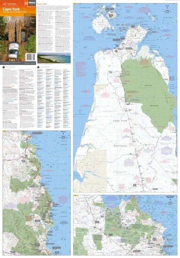
Hema Cape York Map - Featuring the Old Telegraph Track (15th Edition)
Brand: Hema Maps
Part number: 9781922668790
DETAILS
Overview
Your map for the trip to the Tip
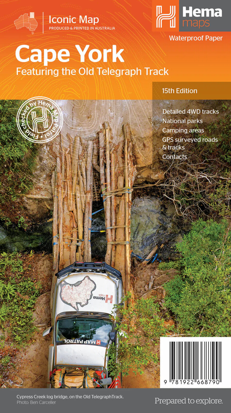
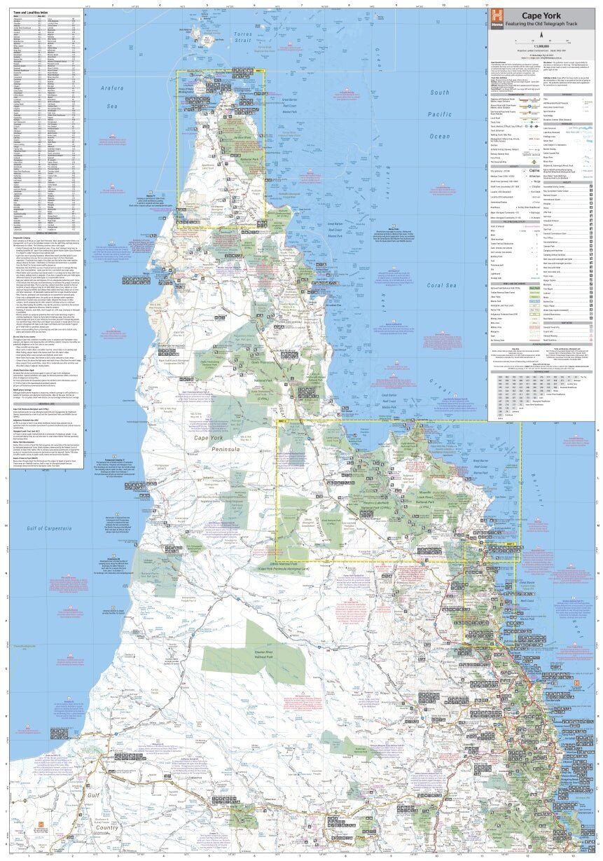
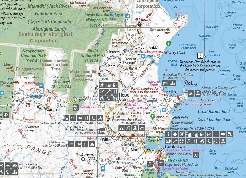
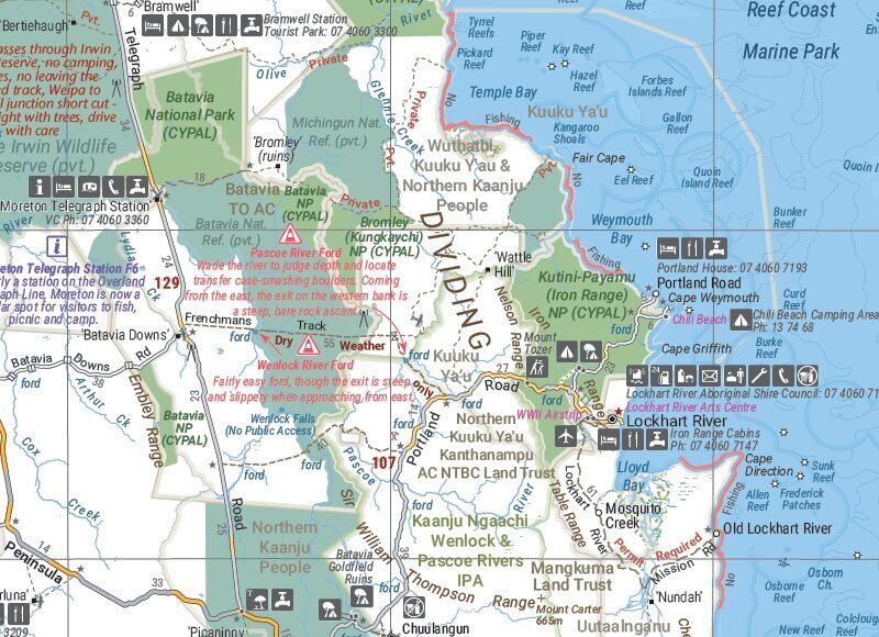
Cape York is one of Australia's great 4WD adventures, and this is the map to take. Hema's Cape York map covers the full Old Telegraph Track and Frenchmans Track, with camping areas, national parks and distances to plan each day. It is printed on waterproof paper, so creek crossings and wet-season storms won't wreck it.

Hema Maps has mapped Australia's remote tracks for decades. Roads and tracks on this map are GPS surveyed, and the cover carries Hema's Map Patrol field-checked seal.
What's on the map
Every major track to the Tip
The map covers Cape York's roads and tracks, including the full Old Telegraph Track and Frenchmans Track. This edition adds new inset maps of the CREB Track and Rinyirru (Lakefield) National Park, for closer detail where you need it most.
- ✓Detailed 4WD tracks, GPS surveyed
- ✓Full Old Telegraph Track and Frenchmans Track
- ✓New CREB Track and Rinyirru (Lakefield) NP insets
- ✓Camping areas, national parks, accommodation and distances
- ✓Local contact information
- ✓Waterproof paper
Frequently asked questions
Does it cover the Old Telegraph Track?
Yes. The map covers the full Old Telegraph Track, as well as Frenchmans Track.
What's new in this edition?
The 15th edition adds new inset maps for the CREB Track and Rinyirru (Lakefield) National Park.
Is the map waterproof?
Yes. It is printed on durable waterproof paper, so it stays readable in wet conditions.
Does it show where to camp?
Yes. Camping areas, national parks and accommodation are marked, with distances to help plan each leg.
Do I need anything else for the trip?
Many travellers pair the map with the Hema Cape York Atlas & Guide for more detail and trip notes. Always check track conditions and any permits before you go.
Pairs well with

Detailed Cape York coverage from Cairns to the Tip, plus the Old Telegraph Track.
$49.95 · View

Touring map for the Savannah Way across the Top End from Cairns to Broome.
$15.95 · View

Features
- ✓Covers the full Old Telegraph Track and Frenchmans Track
- ✓New inset maps of the CREB Track and Rinyirru (Lakefield) National Park
- ✓Detailed 4WD tracks
- ✓GPS surveyed roads and tracks
- ✓Camping areas and national parks
- ✓Accommodation options and distances
- ✓Local contact information
- ✓Durable waterproof paper
Specifications
Map details
| Brand | Hema Maps |
| Title | Cape York: Featuring the Old Telegraph Track |
| Series | Iconic Map |
| Edition | 15th |
| Publication date | September 2023 |
| ISBN | 9781922668790 |
| Scale | 1:1,000,000 |
| Inset maps | CREB Track, Rinyirru (Lakefield) National Park |
| Paper | Waterproof synthetic paper |
Size
| Folded size (W x H x D) | 140 x 250 x 3 mm |
| Flat size (W x H) | 700 x 1000 mm |
What's Included
- ✓1 x Hema Cape York Map (folded)
Product Details
| SKU | 9781922668790 |
| Barcode # | 9781922668790 |
| Brand | Hema Maps |
| Shipping Weight | 0.0900kg |
| Shipping Width | 0.140m |
| Shipping Height | 0.005m |
| Shipping Length | 0.250m |
(9781922668790)
Hema Maps began in 1983, when Henry and Margaret Boegheim started laminating marine charts from their family home in South East Queensland, naming the business after the first two letters of their names. It grew into one of Australia's best known publishers of touring and 4WD maps, and the reason ...
Find Out MoreBe The First To Review This Product!
Help other SPC Enterprises Pty Ltd users shop smarter by writing reviews for products you have purchased.
More From This Category
Hema Hobart & Region Map - City Map (1st Edition)
Hema Australia Wall Map - Large 1000 x 875 mm - La
Hema North East New South Wales Map - Coffs Harbou
Hema The Red Centre Map - Alice Springs to Uluru (

Hema World Map Mural - Europe Centred - 2320 x 158
Hema Pilbara & Coral Coast Map (9th Edition)

Hema South America (North) Deluxe Map