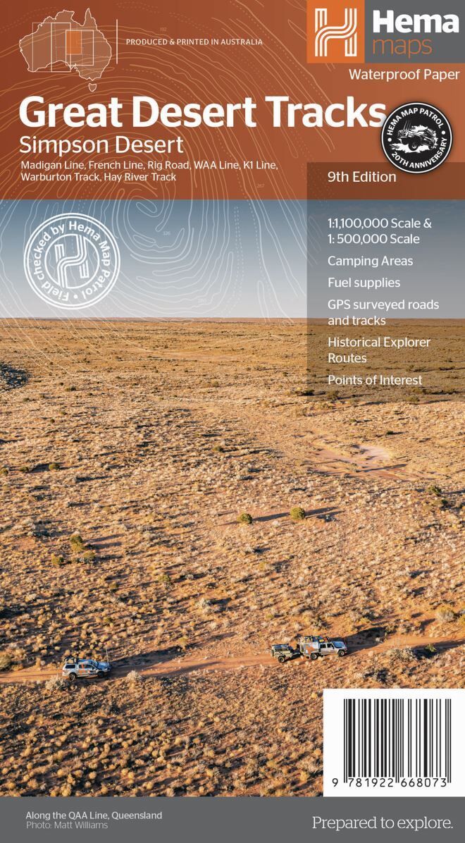
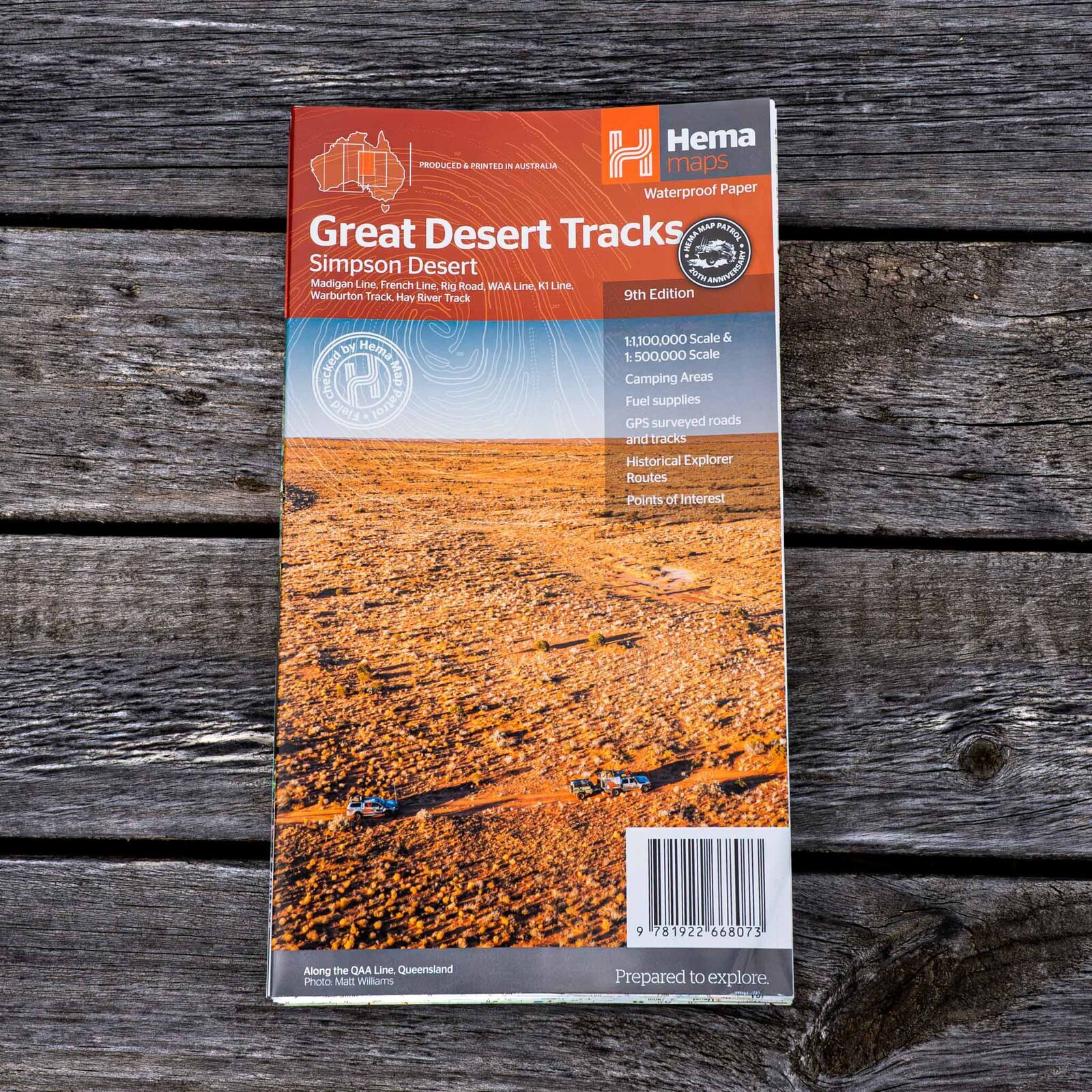
Hema Great Desert Tracks Simpson Desert Map (9th Edition)
Brand: Hema Maps
Part number: 9781922668073
DETAILS
Overview
Plan and cross the Simpson with confidence
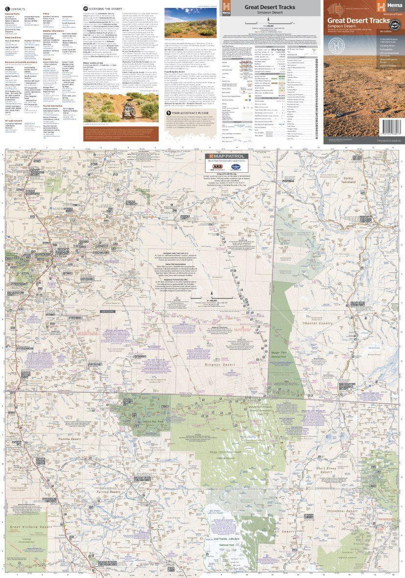
A Simpson crossing is on most 4WD bucket lists. This map is built for it, with one side covering the desert in detail at 1:500,000 and the other showing the wider region for planning your approach and exit.

Hema Maps has been mapping Australia since 1983. The Great Desert Tracks series is field checked by the Hema Map Patrol, the team that drives the outback roads and tracks to check the mapping first-hand.
What's on the map
Every line across the dunes
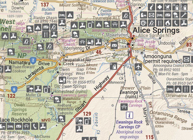
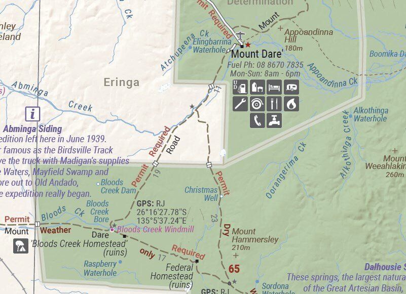
The desert side shows the main routes across the Simpson, with distance markers, topographic relief and points of interest for remote travel. Fuel, free camping areas, caravan parks and services are marked on the way in and out.
- ✓Madigan Line, French Line and Rig Road
- ✓WAA Line and K1 Line
- ✓Warburton Track and Hay River Track
- ✓GPS surveyed roads and tracks
- ✓Historical explorer routes
You also get notes on travelling the desert, what to take for the trip and relevant contacts.
Frequently asked questions
Is the map waterproof?
Yes. Great Desert Tracks maps are printed on durable, waterproof paper, so they cope with dust, spills and wet hands.
Which edition is this?
This is the 9th edition of the Great Desert Tracks Simpson Desert map (ISBN 9781922668073).
What scales does it use?
The desert side is at 1:500,000 for detail. The other side is a smaller-scale planning map of the surrounding region.
Which tracks are covered?
The Madigan Line, French Line, Rig Road, WAA Line, K1 Line, Warburton Track and Hay River Track.
Do I need a permit?
The map includes relevant contact information. Always check current park pass and permit requirements with the relevant authorities before you travel.
Pairs well with

Birdsville, Strzelecki and Oodnadatta tracks around the Simpson.
$15.95 · View

The wider region at 1:1,500,000, from Alice Springs to the Simpson Desert.
$15.95 · View
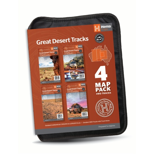
All four Great Desert Tracks maps in a tough map wallet.
$69.95 · View
Features
- ✓Desert side at 1:500,000 for detail
- ✓Planning side for the approach and exit
- ✓Madigan Line, French Line, Rig Road, WAA Line and K1 Line
- ✓Warburton Track and Hay River Track
- ✓Roads and 4WD tracks field checked by the Hema Map Patrol
- ✓GPS surveyed roads and tracks
- ✓Distance markers and topographic relief
- ✓24-hour fuel, camping areas and caravan parks
- ✓Historical explorer routes
- ✓Desert travel advice, gear notes and contacts
- ✓Printed on durable, waterproof paper
Specifications
Map details
| Brand | Hema Maps |
| Title | Great Desert Tracks: Simpson Desert |
| Series | Great Desert Tracks |
| Edition | 9th |
| ISBN | 9781922668073 |
| Scale (desert side) | 1:500,000 |
| Scale (planning side) | 1:1,000,000 |
| Tracks | Madigan Line, French Line, Rig Road, WAA Line, K1 Line, Warburton Track, Hay River Track |
| Paper | Waterproof paper |
Size & weight
| Folded size (W x H x D) | 140 x 250 x 6 mm |
| Flat size (W x H) | 700 x 1000 mm |
| Weight | 55 g |
What's Included
- ✓1 x Hema Great Desert Tracks Simpson Desert Map (folded)
Product Details
| SKU | 9781922668073 |
| Barcode # | 9781922668073 |
| Brand | Hema Maps |
| Shipping Weight | 0.0550kg |
| Shipping Width | 0.140m |
| Shipping Height | 0.005m |
| Shipping Length | 0.250m |
(9781922668073)
Hema Maps began in 1983, when Henry and Margaret Boegheim started laminating marine charts from their family home in South East Queensland, naming the business after the first two letters of their names. It grew into one of Australia's best known publishers of touring and 4WD maps, and the reason ...
Find Out MoreBe The First To Review This Product!
Help other SPC Enterprises Pty Ltd users shop smarter by writing reviews for products you have purchased.
More From This Category
Hema Hobart & Region Map - City Map (1st Edition)
Hema Australia Wall Map - Large 1000 x 875 mm - La
Hema North East New South Wales Map - Coffs Harbou
Hema The Red Centre Map - Alice Springs to Uluru (

Hema World Map Mural - Europe Centred - 2320 x 158
Hema Pilbara & Coral Coast Map (9th Edition)
Hema South America (North) Deluxe Map