Hema The Kimberley Atlas & Guide (6th Edition) - Top 10 4WD Trips
Brand: Hema Maps
Part number: 9781876413644
DETAILS
Overview
Plan and drive the Kimberley, including the Gibb
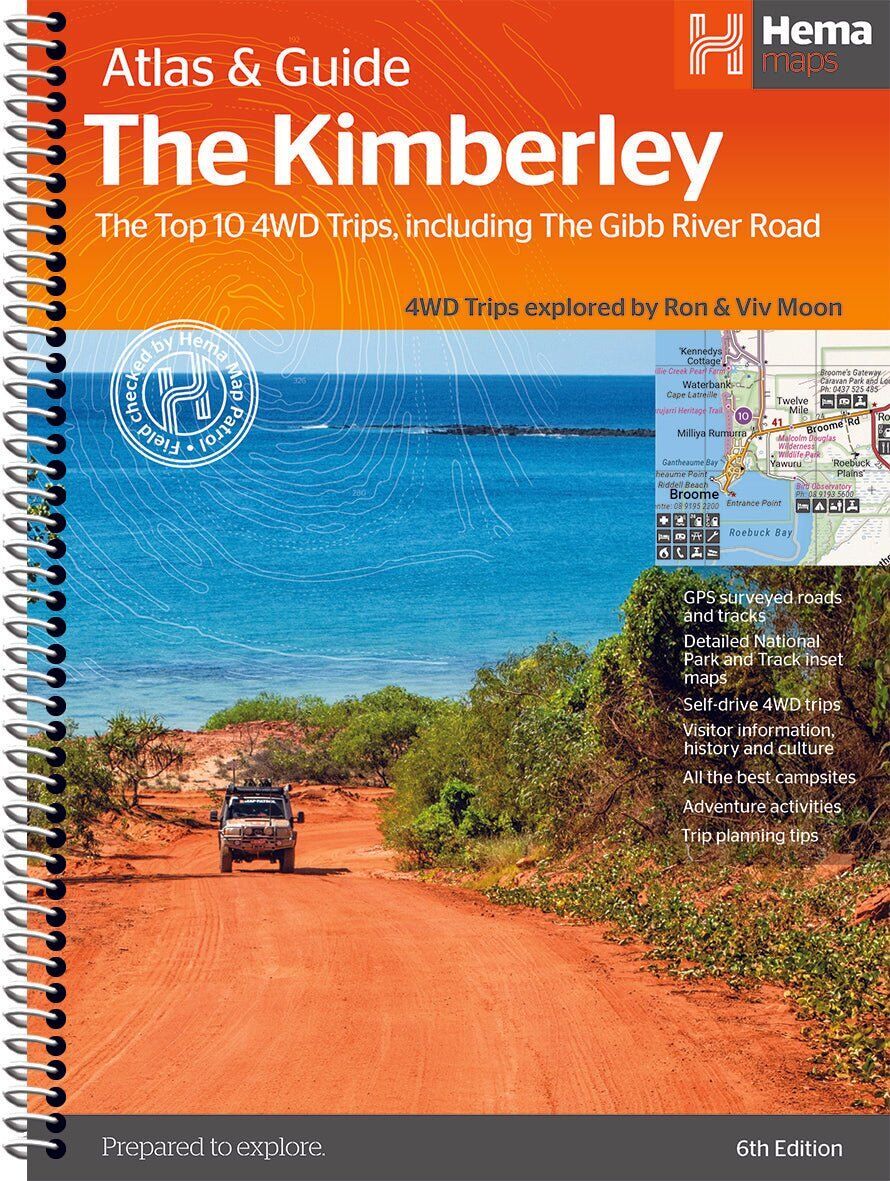
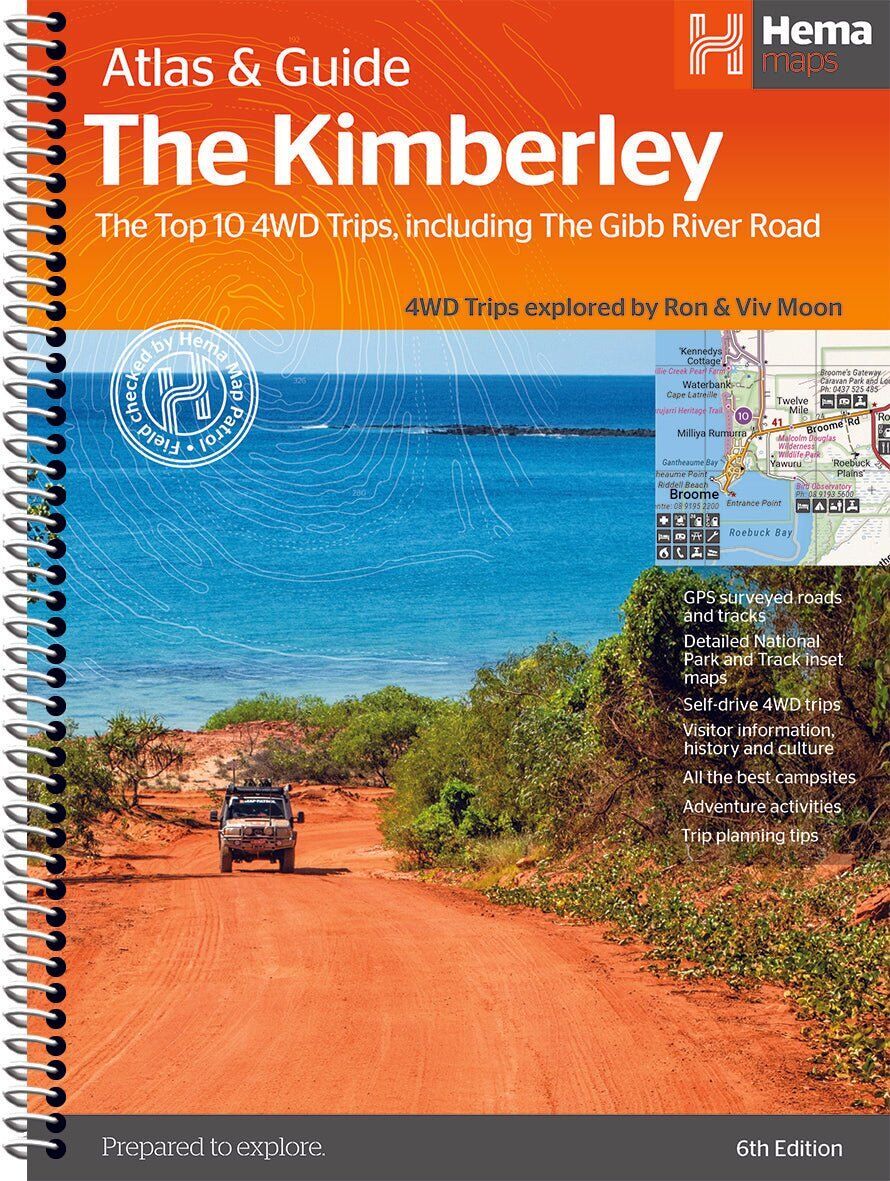
Hema's Kimberley Atlas & Guide combines topographic atlas mapping with the Top 10 4WD trips for the region, including the Gibb River Road, written by off-road legends Ron and Viv Moon. It is the planning book and the on-the-road reference in one.

Hema Maps has been mapping Australia since 1983, and its Map Patrol team drives the roads and tracks to field-check the mapping first-hand. The cover carries the Map Patrol 'field checked' stamp.
Top 10 4WD trips
Every trip, start to finish
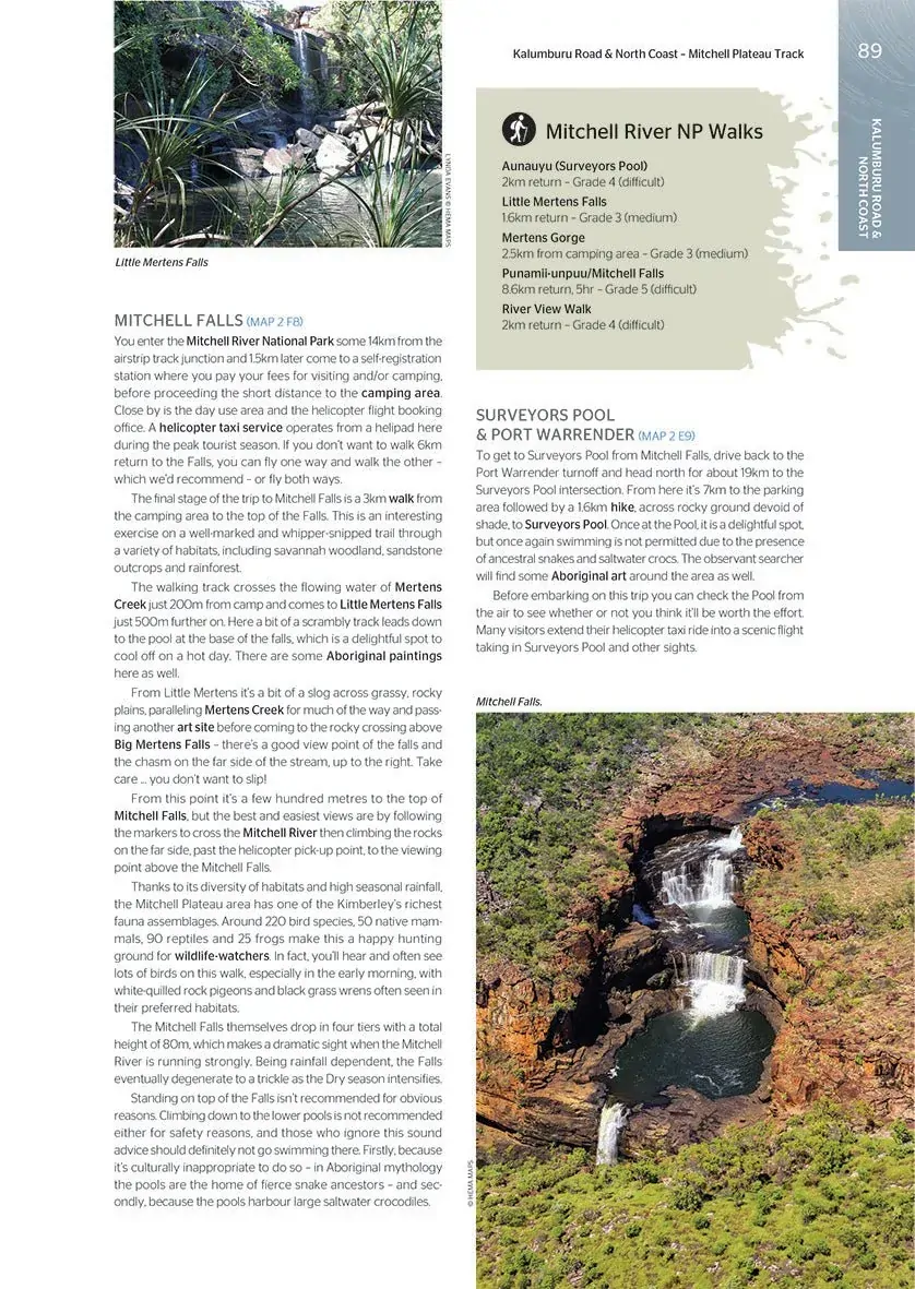
The trips are broken into their localities, each with gradings, distances, travel information and drive coverage from start to finish. Walks, waterfalls and side trips are covered too, like Mitchell Falls on the Mitchell Plateau.
- ✓The Gibb River Road and the Kimberley's best 4WD trips
- ✓Gradings and distances for each trip
- ✓Maps show fuel locations

Plan before you go

When to go and how to prepare
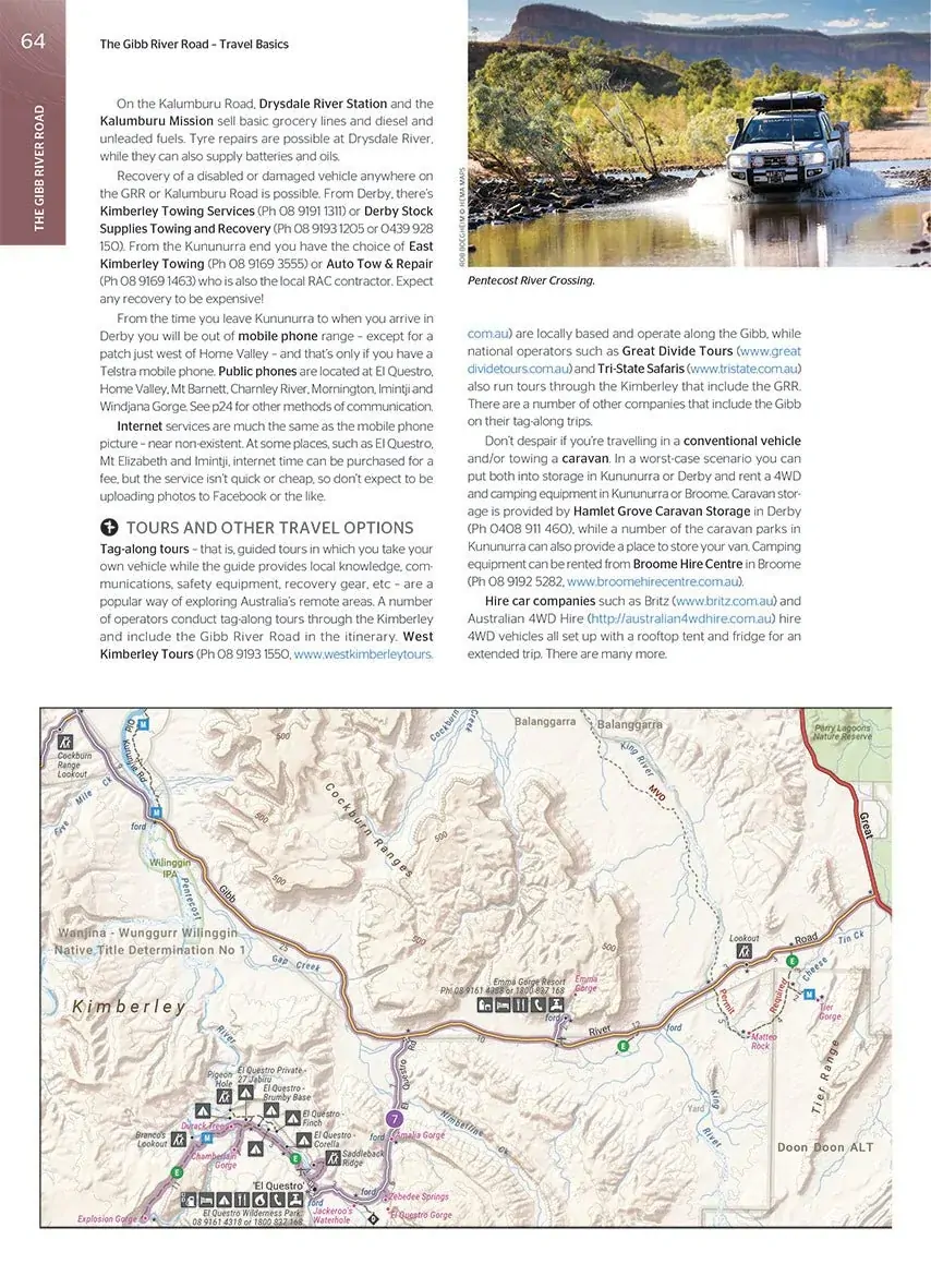
An introduction to the region, trip planning tips and travel basics help you prepare for remote travel, from fuel and supplies to tours and other travel options.
- ✓Trip planning tips
- ✓When to go and how to prepare
- ✓Where to stay and the best campsites
- ✓Listings of tour operators
Atlas section
A handy atlas for navigation
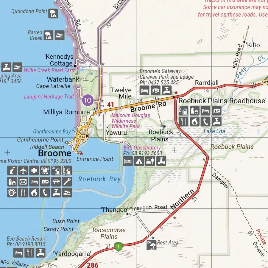
20 atlas pages in Hema's newer cartographic style cover the region in detail, with roads, tracks, campgrounds, fuel and facilities marked.
- ✓Detailed maps throughout
- ✓Background reading on the region
- ✓Spiral bound

Frequently asked questions
Does it cover the Gibb River Road?
Yes. The Gibb River Road is one of the Top 10 4WD trips in the guide.
Who wrote the 4WD trips?
Off-road authors Ron and Viv Moon wrote the Top 10 4WD trips.
Which edition is this?
This is the 6th edition (ISBN 9781876413644), with 208 pages and 20 atlas pages.
Is it useful for caravanners?
Yes. As well as 4WD trips it covers where to stay, the best campsites, fuel locations and how to prepare for remote travel.
Pairs well with


Hema map of the Savannah Way from Cairns to Broome.
$15.95 · View
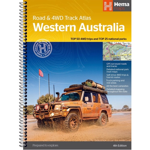
Top 50 4WD trips and Top 25 national parks across WA.
$44.95 · View
Features
- ✓Top 10 4WD trips, including the Gibb River Road
- ✓Written by Ron and Viv Moon
- ✓Gradings, distances and travel info for every trip
- ✓20 atlas pages in Hema's newer cartographic style
- ✓Maps show fuel locations
- ✓Where to stay and the best campsites
- ✓When to go and how to prepare
- ✓Listings of tour operators
- ✓Background reading on the region
Specifications
Book details
| Brand | Hema Maps |
| Title | The Kimberley Atlas & Guide |
| Edition | 6th |
| Publication date | January 2018 |
| ISBN | 9781876413644 |
| Pages | 208 |
| Atlas | 20 pages |
| 4WD trips | Top 10, by Ron and Viv Moon |
| Binding | Spiral bound |
| Weight | 955 g |
What's Included
- ✓1 x Hema The Kimberley Atlas & Guide (6th edition)
Product Details
| SKU | 9781876413644 |
| Barcode # | 9781876413644 |
| Brand | Hema Maps |
| Shipping Weight | 0.9550kg |
(9781876413644)
Hema Maps began in 1983, when Henry and Margaret Boegheim started laminating marine charts from their family home in South East Queensland, naming the business after the first two letters of their names. It grew into one of Australia's best known publishers of touring and 4WD maps, and the reason ...
Find Out MoreBe The First To Review This Product!
Help other SPC Enterprises Pty Ltd users shop smarter by writing reviews for products you have purchased.
More From This Category
Hema Australia Truckies Atlas (7th Edition)
Hema Where to Camp Guide Australia - 5,500+ Campsi
Hema 4WD + Camping Escapes Perth & the South West
Hema Great Desert Tracks Atlas & Guide (6th Editio