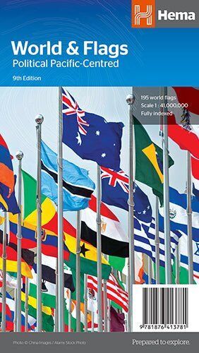
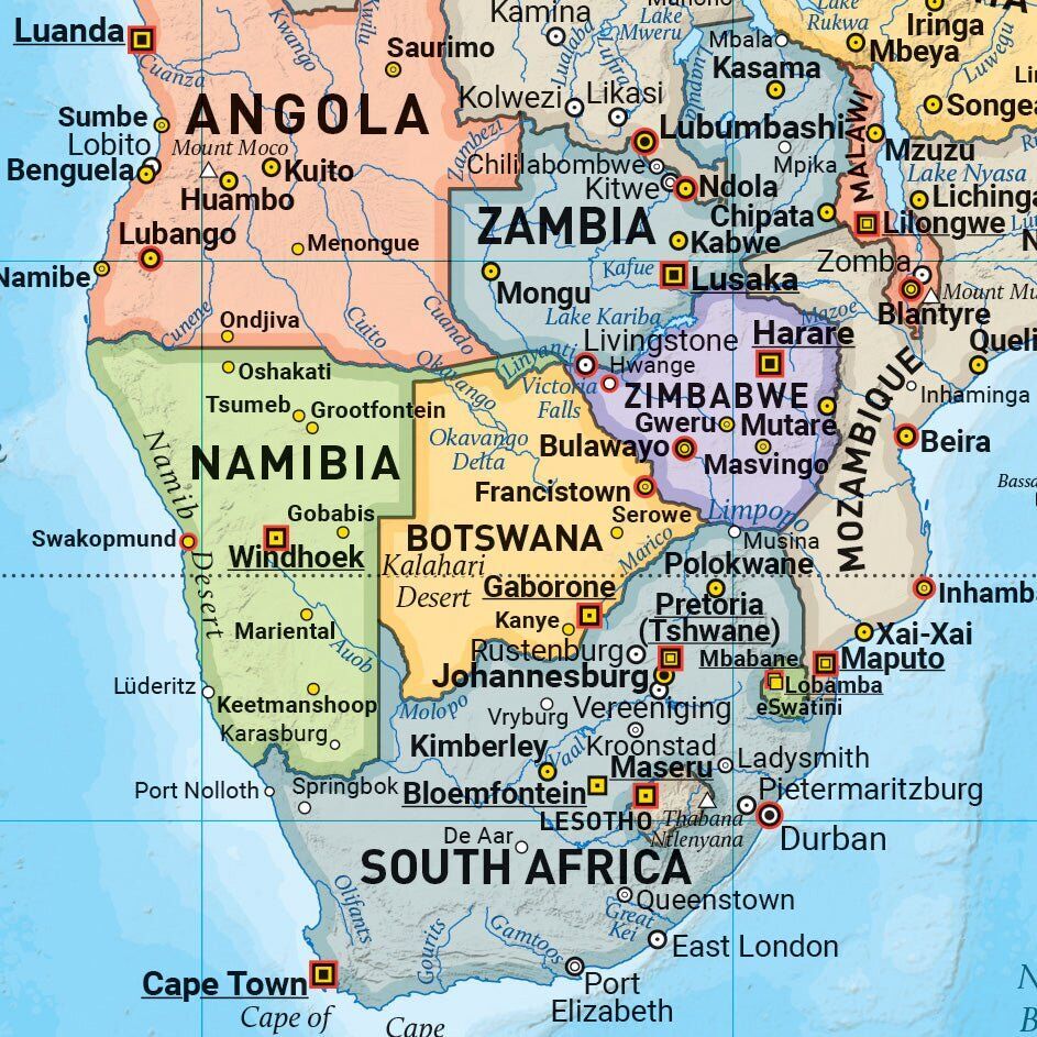
Hema World & Flags Map - Political Pacific-Centred (9th Edition)
Brand: Hema Maps
Part number: 9781876413781
DETAILS
Overview
The world and its flags on one sheet
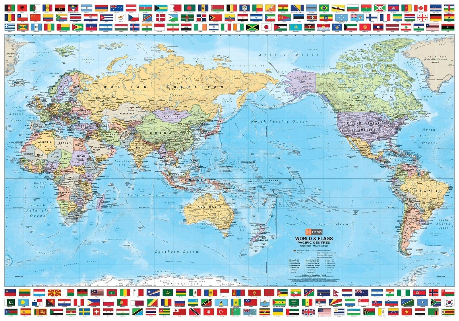
Great for curious kids, quiz lovers and travel planners, the Hema World & Flags Map is a Pacific-centred political map of the world, framed by 195 named flags.
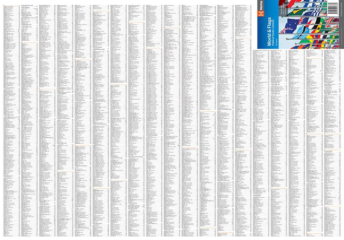
Relief shading shows each country's topography, and the International Date Line helps make sense of world time zones. An index makes places easy to find.
What's on the map
Every country, every flag
The map puts the Pacific at the centre, so Australia and our neighbours sit front and centre. Rows of named flags run above and below the map.
- ✓Pacific-centred political world map
- ✓195 named flags bordering the map
- ✓International Date Line marked
Clear detail
Easy to read, easy to learn
Bold country colours, capital cities and major towns are clearly marked, with relief shading to show the shape of the land.
- ✓Relief shading for topography
- ✓Capital cities and major towns
Find it fast
Fully indexed
A full index lets you look up countries and places in seconds, making it a handy reference at home, school or work, or something good to hang on the wall.
- ✓Index for reference
- ✓Folds to 140 x 250 mm
Frequently asked questions
How many flags are shown?
The map is framed by 195 named flags of the world.
How big is it?
It opens out to 700 x 1000 mm and folds to 140 x 250 mm.
Which edition is this?
This is the 9th edition, at a scale of 1:41,000,000.
Is it folded or rolled?
This version is folded. Hema also makes a laminated wall version, linked below.
Pairs well with
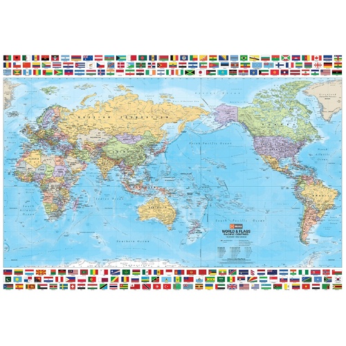
The same world and flags map, laminated for the wall.
$59.95 · View
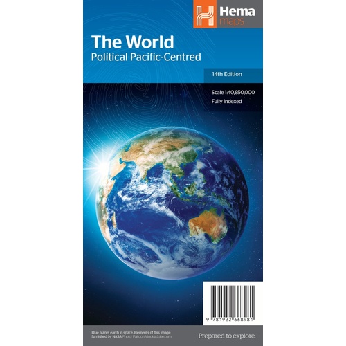
Pacific-centred political world map with relief shading and index.
$15.95 · View
Features
- ✓Pacific-centred political world map
- ✓195 named flags bordering the map
- ✓Relief shading shows topography
- ✓International Date Line marked
- ✓Index for reference
- ✓Great for education, reference or display
Specifications
Map details
| Brand | Hema Maps |
| Title | World & Flags: Political Pacific-Centred |
| Edition | 9th |
| ISBN | 9781876413781 |
| Scale | 1:41,000,000 |
| Flags | 195 named flags |
| Format | Folded map |
Size & weight
| Folded size (W x H x D) | 140 x 250 x 4 mm |
| Flat size (W x H) | 700 x 1000 mm |
| Weight | 90 g |
What's Included
- ✓1 x Hema World & Flags Map (folded)
Product Details
| SKU | 9781876413781 |
| Barcode # | 9781876413781 |
| Brand | Hema Maps |
| Shipping Weight | 0.0900kg |
| Shipping Width | 0.140m |
| Shipping Height | 0.004m |
| Shipping Length | 0.250m |
(9781876413781)
Hema Maps began in 1983, when Henry and Margaret Boegheim started laminating marine charts from their family home in South East Queensland, naming the business after the first two letters of their names. It grew into one of Australia's best known publishers of touring and 4WD maps, and the reason ...
Find Out MoreBe The First To Review This Product!
Help other SPC Enterprises Pty Ltd users shop smarter by writing reviews for products you have purchased.
More From This Category
Hema Hobart & Region Map - City Map (1st Edition)
Hema Australia Wall Map - Large 1000 x 875 mm - La
Hema North East New South Wales Map - Coffs Harbou
Hema The Red Centre Map - Alice Springs to Uluru (
Hema World Map Mural - Europe Centred - 2320 x 158
Hema Pilbara & Coral Coast Map (9th Edition)
Hema South America (North) Deluxe Map