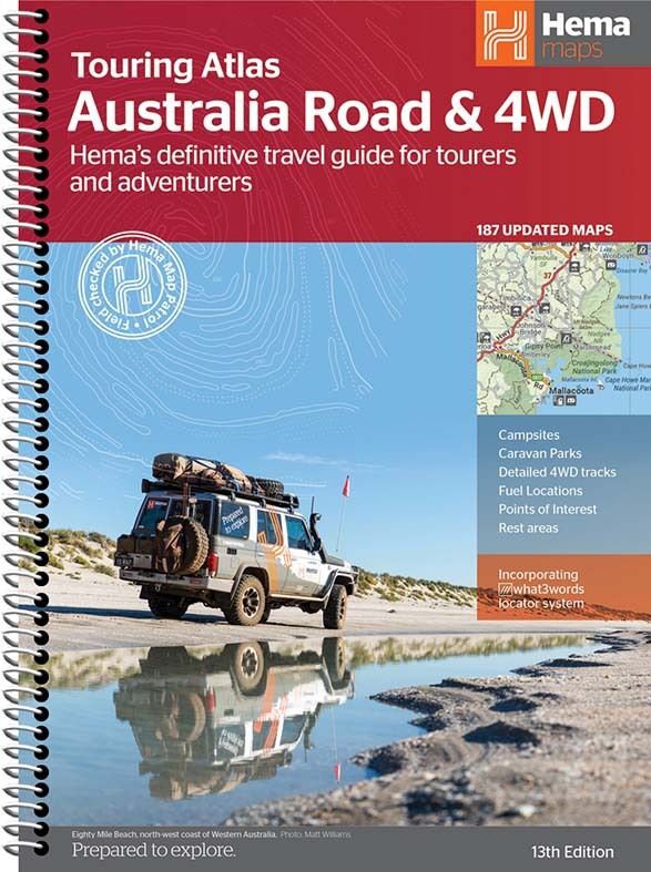
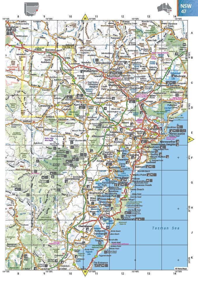
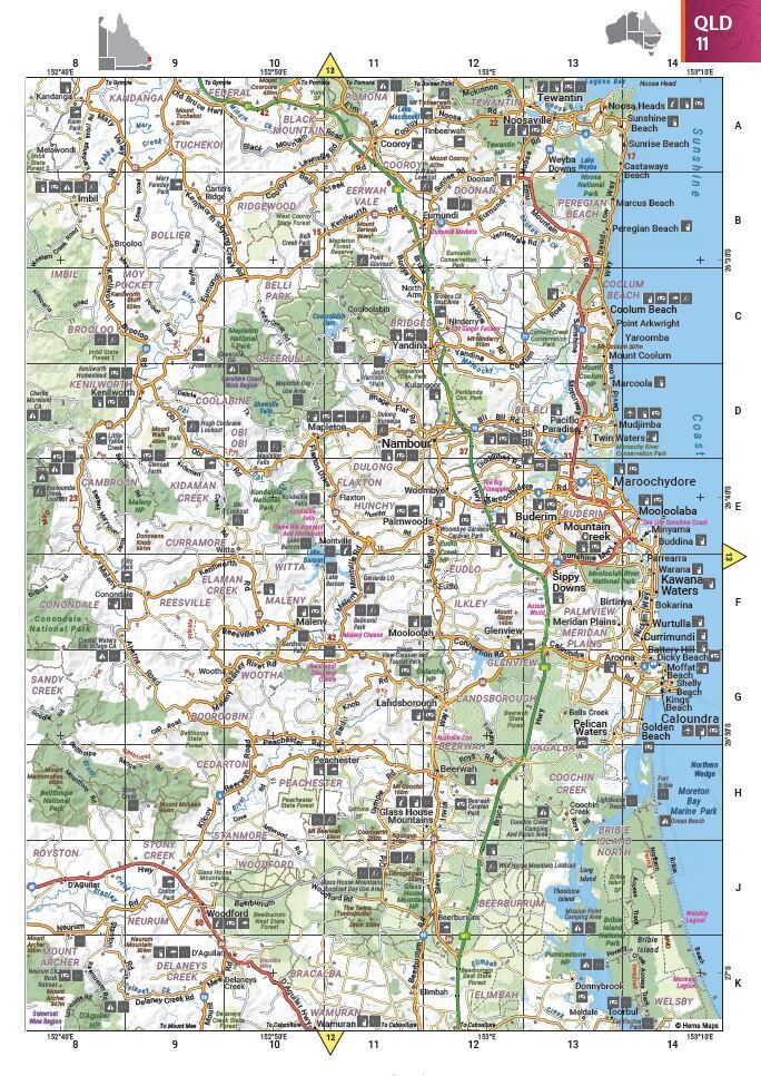
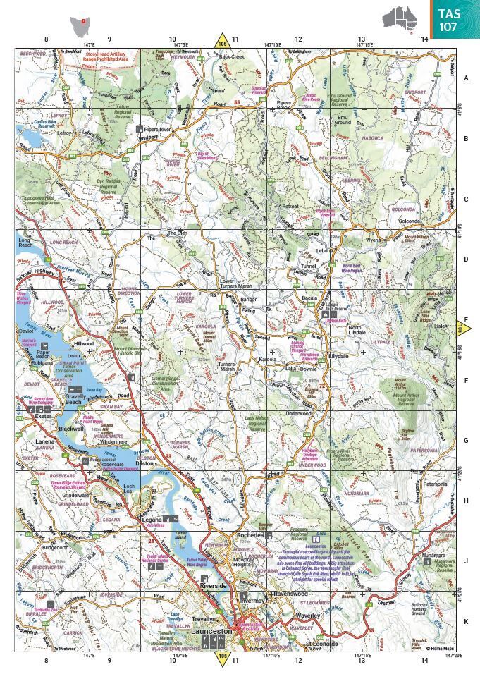
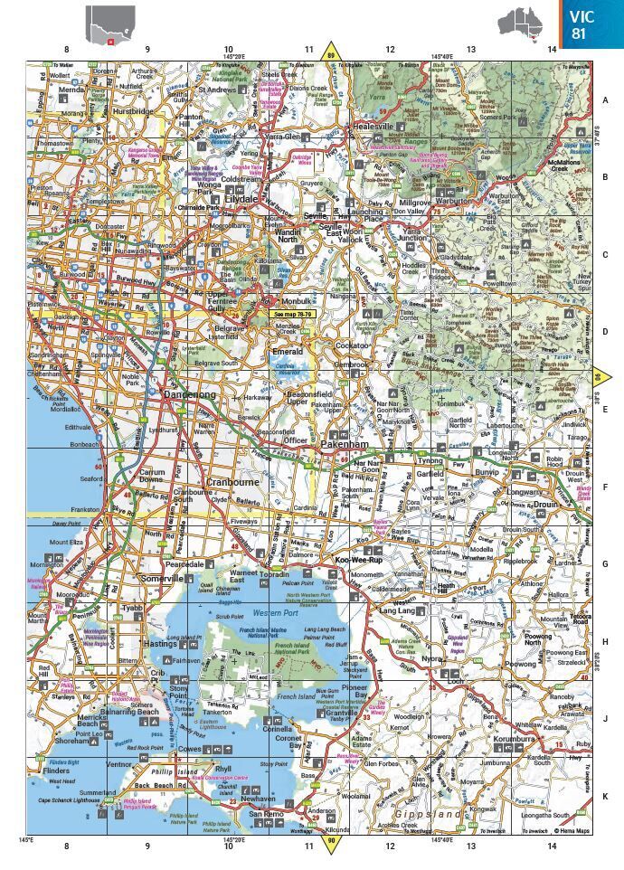
Hema Australia Road & 4WD Touring Atlas - 13th Edition (215 x 297 mm)
Brand: Hema Maps
Part number: 9781922668035
DETAILS
Overview
Every road and track for the big lap
Planning a lap, a long weekend or a season up north? Hema's Road & 4WD Touring Atlas maps all of Australia with what tourers actually need: 4WD tracks, campsites, caravan parks, rest areas, 24-hour fuel and points of interest. It is the in-between size: big enough to read easily, small enough to keep on the front seat.

Hema Maps has been mapping Australia since 1983, and its Map Patrol team drives the tracks to field-check the mapping. This atlas is Hema's best-selling Australian road atlas.
What's inside
Road maps plus the big 4WD destinations
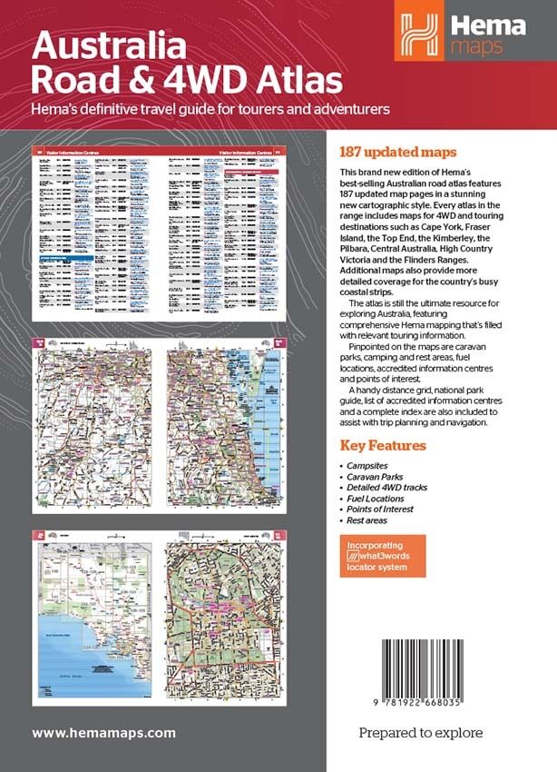
This edition has 187 updated map pages in a clean, easy-to-read cartographic style. As well as road coverage for every state and territory, it includes 4WD and touring maps for Australia's biggest destinations, and extra maps with more detail for the busy coastal strips.
- ✓Cape York, Fraser Island (K’gari) and the Top End
- ✓The Kimberley, the Pilbara and Central Australia
- ✓The Victorian High Country and the Flinders Ranges

Built for the road

Find the camp, the fuel and the turn-off
Caravan parks, camping and rest areas, fuel, visitor information centres and points of interest are pinpointed right on the maps. Map pages carry a grid reference, and the atlas incorporates the what3words locator system.
- ✓Detailed 4WD tracks and GPS surveyed roads
- ✓Campsites, caravan parks and rest areas
- ✓24-hour fuel and points of interest
- ✓National parks clearly shaded
Frequently asked questions
Which edition is this?
This is the 13th edition (ISBN 9781922668035), with 187 updated maps in a new cartographic style.
How big is it?
The pages are 215 x 297 mm, a little wider than A4. It is spiral bound, so it opens flat on your lap or the table.
Does it show 4WD tracks and campsites?
Yes. It shows detailed 4WD tracks, campsites, caravan parks, rest areas, 24-hour fuel and points of interest, plus dedicated maps for the major 4WD destinations.
What is the difference between the atlas sizes?
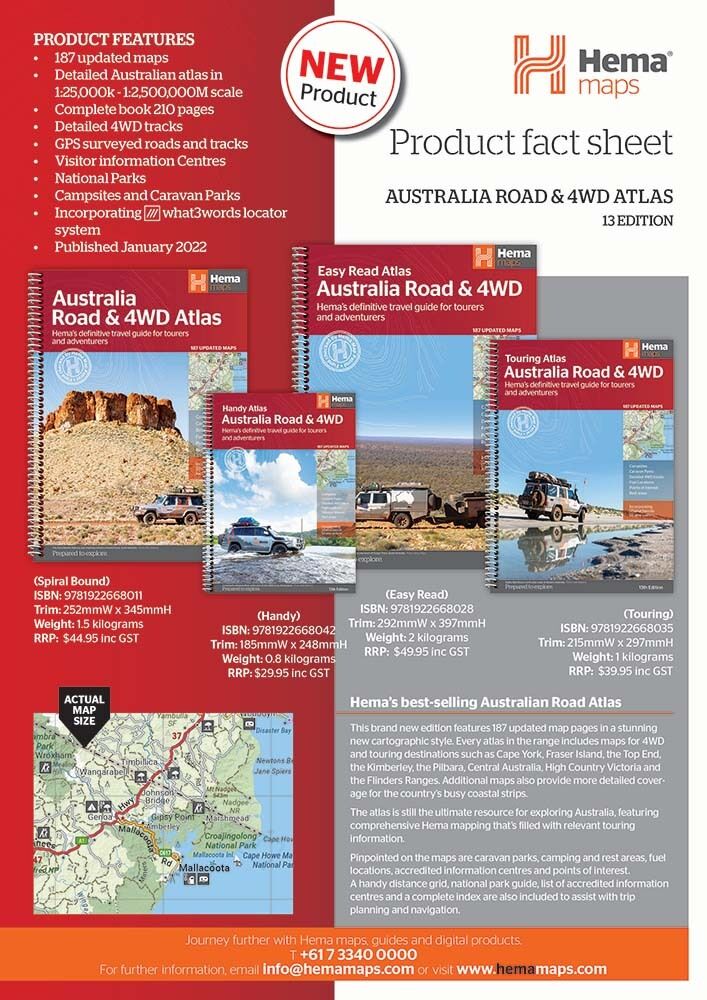
The Handy, Touring, Spiral Bound and Easy Read atlases share the same Hema mapping. They differ in page size, so choose the one that suits your vehicle and how easily you like to read the print.
Pairs well with

Holds one A4-size atlas or book plus four folded maps in one place.
$34.95 · View

The same 13th edition mapping on large 292 x 397 mm pages for easier reading.
$49.95 · View

Compact 185 x 248 mm edition that fits the glovebox or door pocket.
$29.95 · View
Features
- ✓187 updated map pages covering every state and territory
- ✓Detailed 4WD tracks and GPS surveyed roads
- ✓Campsites, caravan parks and rest areas pinpointed
- ✓24-hour fuel, points of interest and visitor information centres
- ✓Dedicated maps for Cape York, the Kimberley, the Top End and more
- ✓Extra detail for the busy coastal strips
- ✓Distance grid, national park guide and complete index
- ✓Incorporates the what3words locator system
- ✓Spiral bound, 215 x 297 mm pages
Specifications
Atlas details
| Brand | Hema Maps |
| Title | Australia Road & 4WD Touring Atlas |
| Edition | 13th |
| ISBN | 9781922668035 |
| Maps | 187 updated maps |
| Coverage | All of Australia |
| Binding | Spiral bound |
| Locator system | what3words |
Size
| Page size (W x H) | 215 x 297 mm |
What's Included
- ✓1 x Hema Australia Road & 4WD Touring Atlas (13th edition)
Product Details
| SKU | 9781922668035 |
| Barcode # | 9781922668035 |
| Brand | Hema Maps |
| Shipping Weight | 1.3400kg |
(9781922668035)
Hema Maps began in 1983, when Henry and Margaret Boegheim started laminating marine charts from their family home in South East Queensland, naming the business after the first two letters of their names. It grew into one of Australia's best known publishers of touring and 4WD maps, and the reason ...
Find Out MoreBe The First To Review This Product!
Help other SPC Enterprises Pty Ltd users shop smarter by writing reviews for products you have purchased.
More From This Category
Hema Australia Truckies Atlas (7th Edition)
Hema Where to Camp Guide Australia - 5,500+ Campsi
Hema 4WD + Camping Escapes Perth & the South West
Hema Great Desert Tracks Atlas & Guide (6th Editio
Hema The Kimberley Atlas & Guide (6th Edition) - T