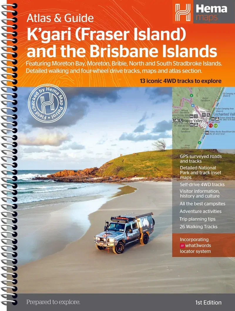
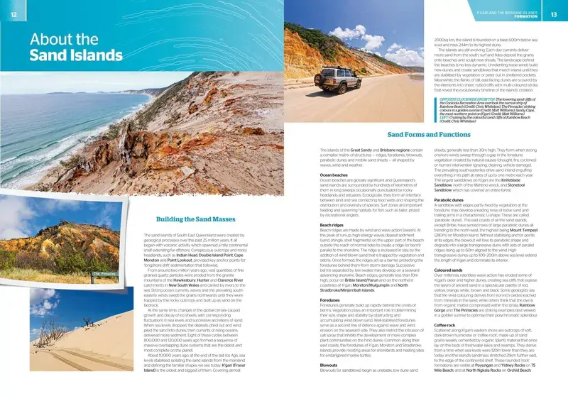
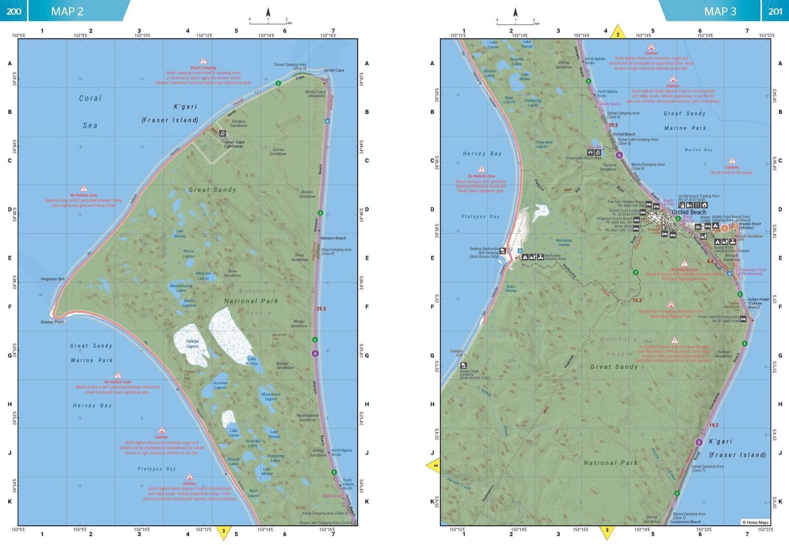
Hema K'gari (Fraser Island) & the Brisbane Islands Atlas & Guide
Brand: Hema Maps
Part number: 9781922668820
DETAILS
Overview
Drive K'gari and the Brisbane islands with confidence
Heading to K'gari (Fraser Island) or Moreton? This Hema atlas and guide covers K'gari plus the Brisbane islands of Moreton, North Stradbroke, South Stradbroke and Bribie, with the 4WD tracks, walks, camps and planning info you need for sand driving trips.

Written by experienced travel journalist Chris Whitelaw, with tracks explored and revised by Hema's Map Patrol team. Hema Maps has been mapping Australia since 1983.
What's inside
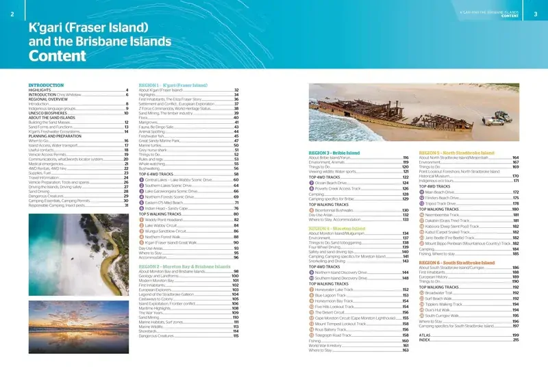
Five islands in one guide
The guide is set out island by island, with highlights, history, flora and fauna, places to see and things to do for each. Planning advice up front helps you get permits, gear and timing right.
- ✓K'gari (Fraser Island)
- ✓Moreton and Bribie islands
- ✓North and South Stradbroke Islands
- ✓Advice on planning your trip

Tracks & walks

Every track, with the details that matter
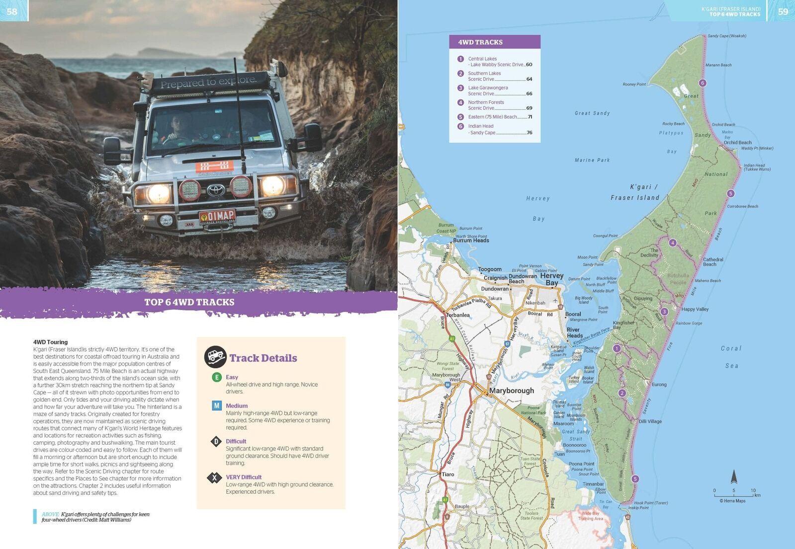
Each of the 13 4WD tracks has a detailed map, trip grading, longest distance without fuel, permit information and contacts. 26 walking tracks get you off the sand and into the rainforest and lakes.
- ✓13 iconic 4WD tracks
- ✓26 walking tracks
- ✓16-page atlas with fuel, camping areas and rest areas
- ✓Mapping field checked by the Hema Map Patrol
Frequently asked questions
Does it cover islands other than K'gari?
Yes. As well as K'gari (Fraser Island), it covers Moreton, North Stradbroke, South Stradbroke and Bribie islands.
Does it include permit information?
Each 4WD track lists permits and contact details. Always check current permit, tide and track conditions with Queensland Parks before you travel.
How many tracks and walks are included?
13 iconic 4WD tracks and 26 walking tracks, each with a map and trip information.
Which edition is this?
This is the 1st edition (ISBN 9781922668820), written by Chris Whitelaw.
Pairs well with


Fold-out Hema map of South East Queensland for the drive up.
$15.95 · View
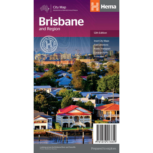
Hema map of Brisbane and region, handy for the bay island ferries.
$11.95 · View
Features
- ✓Covers K'gari plus Moreton, North and South Stradbroke and Bribie islands
- ✓13 iconic 4WD tracks with grading, fuel range and permit details
- ✓26 walking tracks
- ✓16-page atlas showing fuel, camping areas and rest areas
- ✓Mapping field checked by the Hema Map Patrol
- ✓Highlights, history, flora, fauna and things to do for each island
- ✓Advice on planning your trip
- ✓Incorporates the what3words locator system
- ✓Written by travel journalist Chris Whitelaw
Specifications
Book details
| Brand | Hema Maps |
| Title | K'gari (Fraser Island) and the Brisbane Islands Atlas & Guide |
| Edition | 1st |
| ISBN | 9781922668820 |
| Author | Chris Whitelaw |
| Pages | 215 |
| Atlas | 16 pages |
| Binding | Spiral bound |
| Weight | 950 g |
What's Included
- ✓1 x Hema K'gari (Fraser Island) & the Brisbane Islands Atlas & Guide
Product Details
| SKU | 9781922668820 |
| Barcode # | 9781922668820 |
| Brand | Hema Maps |
| Shipping Weight | 0.9500kg |
(9781922668820)
Hema Maps began in 1983, when Henry and Margaret Boegheim started laminating marine charts from their family home in South East Queensland, naming the business after the first two letters of their names. It grew into one of Australia's best known publishers of touring and 4WD maps, and the reason ...
Find Out MoreBe The First To Review This Product!
Help other SPC Enterprises Pty Ltd users shop smarter by writing reviews for products you have purchased.
More From This Category
Hema Australia Truckies Atlas (7th Edition)
Hema Where to Camp Guide Australia - 5,500+ Campsi
Hema 4WD + Camping Escapes Perth & the South West
Hema Great Desert Tracks Atlas & Guide (6th Editio
Hema The Kimberley Atlas & Guide (6th Edition) - T