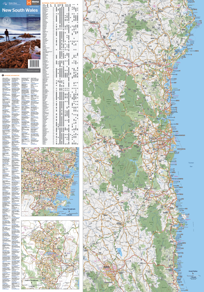
Hema New South Wales State Map (14th Edition)
Brand: Hema Maps
Part number: 9781925625615
DETAILS
Overview
Tour New South Wales end to end
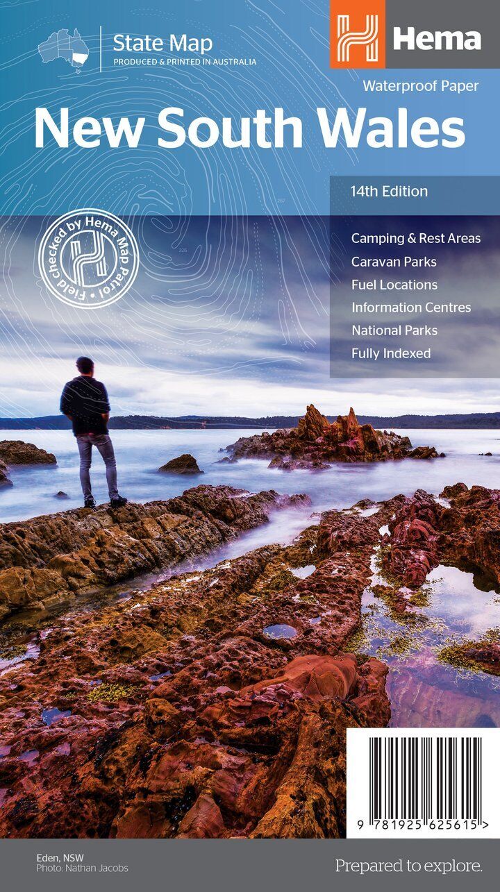
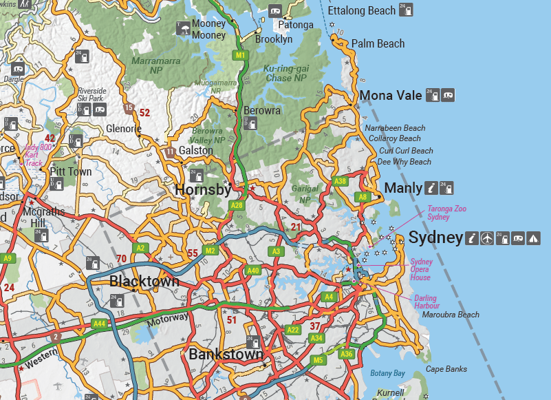
From the coast to the outback, Hema's New South Wales State Map shows the whole state on one waterproof sheet, with camping and rest areas, 24-hour fuel and national parks marked for touring.

Hema Maps has been mapping Australia since 1983. This map is field checked by the Hema Map Patrol.
What's on the map
The whole state on one sheet
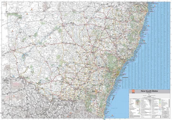
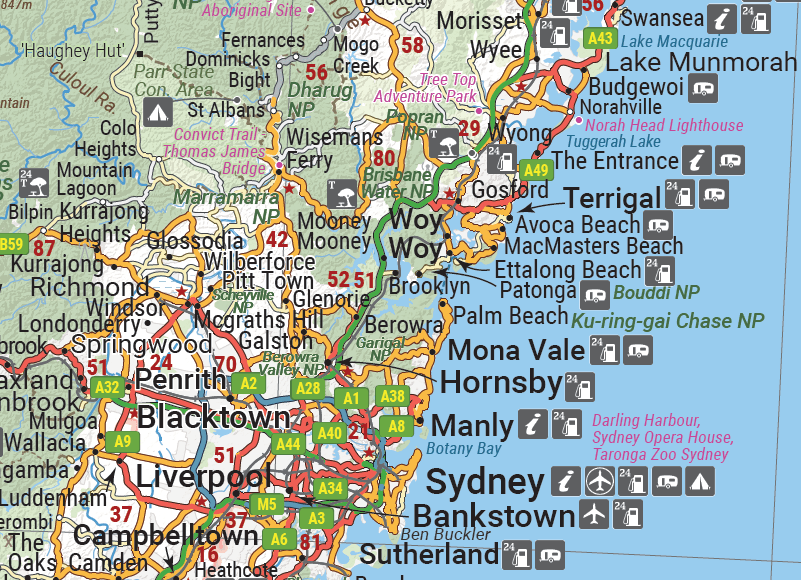
The main map covers New South Wales at 1:1,500,000, with points of interest, camping and rest areas, 24-hour fuel and national parks. On the reverse are through-road maps of Sydney and Canberra, a map of the Sydney region, a full index and national park information.
- ✓Camping and rest areas
- ✓Caravan parks and fuel locations
- ✓Information centres and national parks
- ✓Fully indexed

Built for the road
Made to live in the car
Printed on waterproof paper, the map handles spills and wet weather, and folds to 140 x 250 mm for the glovebox or door pocket.
- ✓Sydney and Canberra through-road maps
- ✓Sydney regional map
- ✓National park information
Frequently asked questions
Is the map waterproof?
Yes. It is printed on waterproof paper.
Which edition is this?
This is the 14th edition, at a scale of 1:1,500,000.
Are there city maps?
Yes. The reverse has through-road maps of Sydney and Canberra and a map of the Sydney region.
Does it cover the outback?
Yes, the whole state is on the main map. For more detail out west, see the Hema Outback New South Wales map below.
Pairs well with

Inland NSW in more detail, from Tamworth across to Broken Hill.
$15.95 · View


The Hume and Princes highways between Melbourne and Sydney.
$15.95 · View
Features
- ✓Covers all of New South Wales at 1:1,500,000
- ✓Points of interest and national parks
- ✓Camping and rest areas
- ✓Caravan parks and 24-hour fuel
- ✓Information centres
- ✓Sydney and Canberra through-road maps
- ✓Sydney regional map
- ✓Fully indexed, with national park information
- ✓Waterproof paper
Specifications
Map details
| Brand | Hema Maps |
| Title | New South Wales State Map |
| Series | State Map |
| Edition | 14th |
| ISBN | 9781925625615 |
| Scale | 1:1,500,000 |
| Paper | Waterproof paper |
Size & weight
| Folded size (W x H x D) | 140 x 250 x 3 mm |
| Flat size (W x H) | 700 x 1000 mm |
| Weight | 68 g |
What's Included
- ✓1 x Hema New South Wales State Map (folded)
Product Details
| SKU | 9781925625615 |
| Barcode # | 9781925625615 |
| Brand | Hema Maps |
| Shipping Weight | 0.0900kg |
| Shipping Width | 0.140m |
| Shipping Height | 0.005m |
| Shipping Length | 0.250m |
(9781925625615)
Hema Maps began in 1983, when Henry and Margaret Boegheim started laminating marine charts from their family home in South East Queensland, naming the business after the first two letters of their names. It grew into one of Australia's best known publishers of touring and 4WD maps, and the reason ...
Find Out MoreBe The First To Review This Product!
Help other SPC Enterprises Pty Ltd users shop smarter by writing reviews for products you have purchased.
More From This Category
Hema Hobart & Region Map - City Map (1st Edition)
Hema Outback Queensland Map - Camooweal to Stantho
Hema South Island New Zealand Map - Te Waipounamu
Hema South Australia State Map (8th Edition)
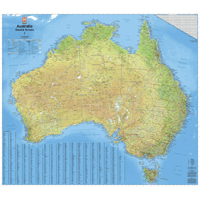
Hema Australia Road & Terrain Wall Map - Supermap
Hema Flinders Ranges Map - Featuring Ikara-Flinder
Hema Australia Wall Map - Handy 745 x 620 mm - Lam