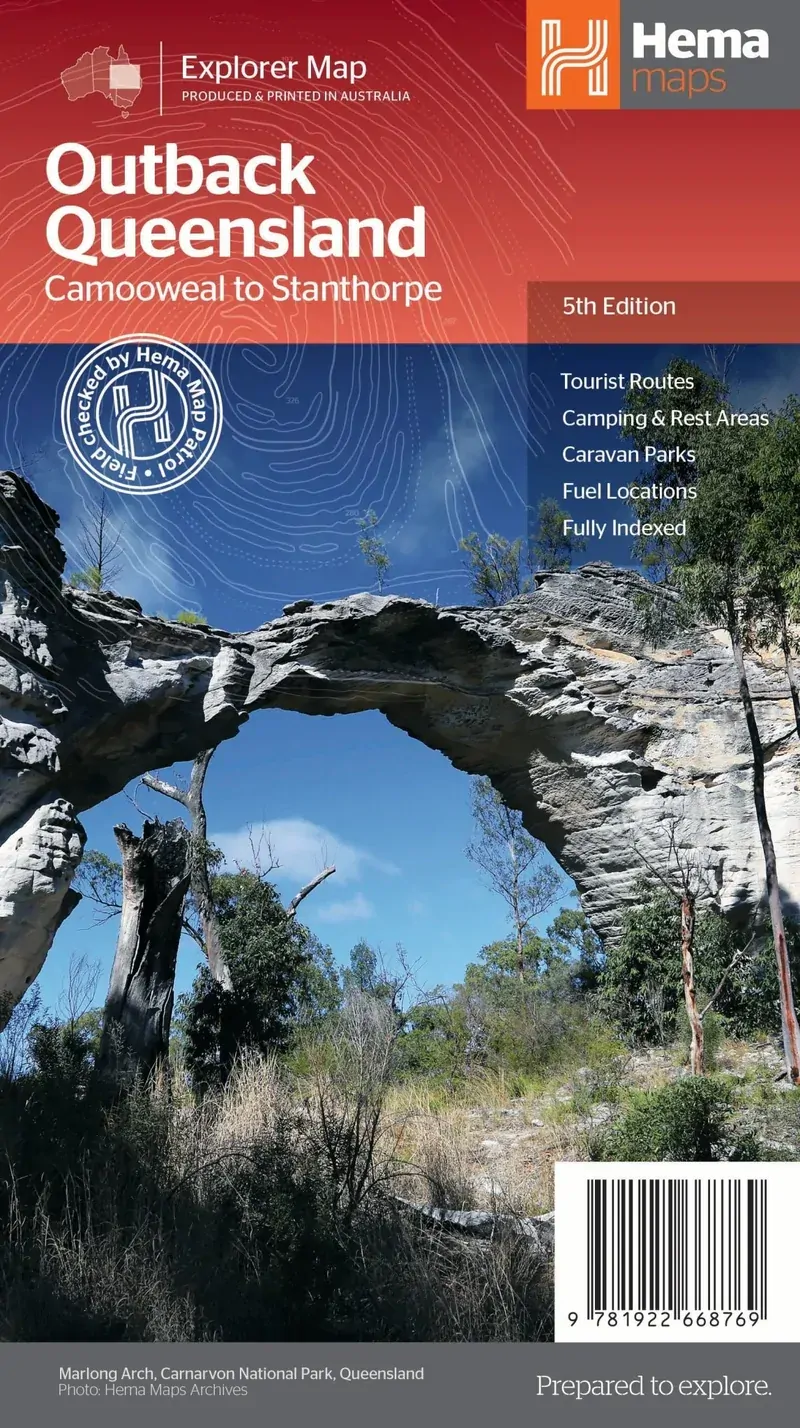
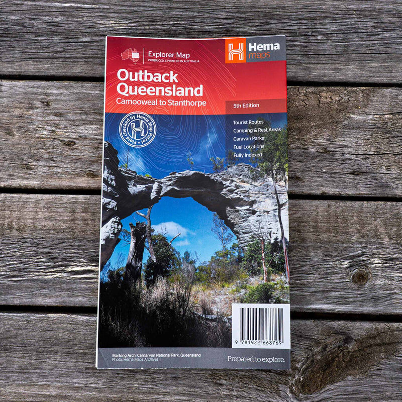
Hema Outback Queensland Map - Camooweal to Stanthorpe (5th Edition)
Brand: Hema Maps
Part number: 9781922668769
DETAILS
Overview
Plan your outback Queensland adventure
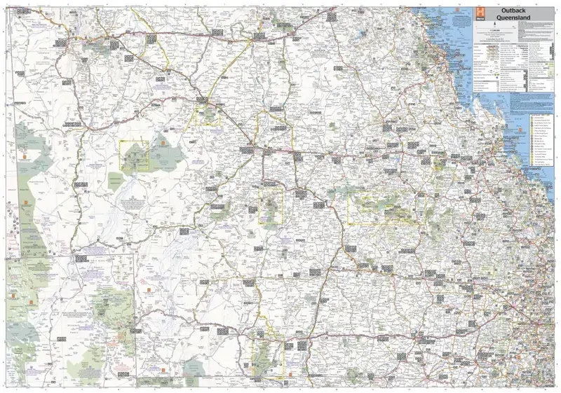
Following the Overlanders Way, chasing dinosaurs in Matilda Country or heading out to the Channel Country? This Hema map covers outback Queensland from the inland borders to Toowoomba in the east and Charters Towers in the north.

Hema Maps has been mapping Australia since 1983. This map is field checked by the Hema Map Patrol, with GPS-surveyed roads and tracks.
What's on the map
Camooweal to Stanthorpe
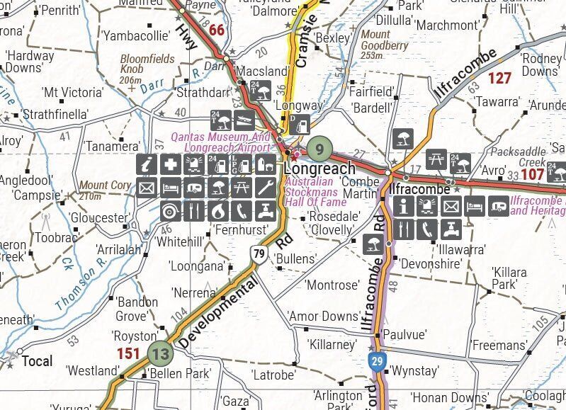
Hill shading and elevation tinting give a realistic picture of the landscape, and the map marks the places you need on a long outback drive.
- ✓Points of interest and key touring routes
- ✓Camping areas and caravan parks
- ✓Fuel stops
- ✓GPS-surveyed roads and tracks

Plan before you go

Visitor info on the reverse
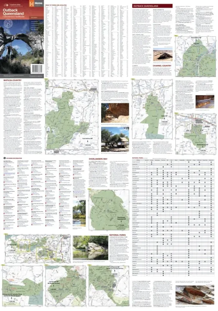
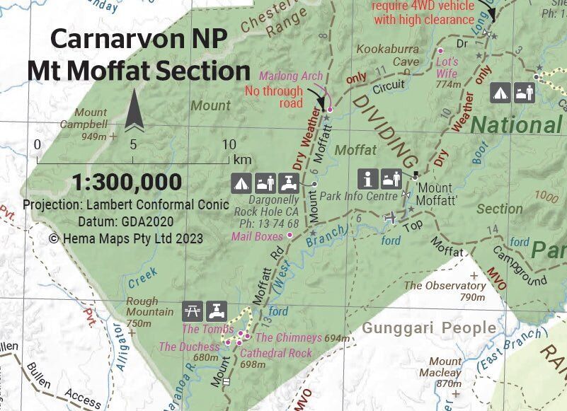
The reverse has extensive visitor information for the Channel Country, Matilda Country and the Overlanders Way, with a town and locality index and key contact details. It also includes maps of Bladensburg, Idalia, Currawinya, Diamantina and Carnarvon Gorge national parks.
- ✓Town and locality index
- ✓National park maps and facility table
- ✓Useful contacts
Glovebox ready
Folds down for the road
The map folds to 140 x 250 mm, so it fits the glovebox or door pocket and is always to hand when the phone signal drops out.
- ✓Opens to 700 x 1000 mm
- ✓Fully indexed

Frequently asked questions
What area does it cover?
Outback Queensland from the inland borders east to Toowoomba and north to Charters Towers. The cover describes it as Camooweal to Stanthorpe.
Which edition is this?
This is the 5th edition, at a scale of 1:1,500,000.
Which national parks are mapped?
Bladensburg, Idalia, Currawinya, Diamantina and Carnarvon Gorge national parks each have their own map.
Is it waterproof?
No. Hema's spec lists standard paper for this map.
Pairs well with

Hema's 13th edition Queensland State Map, field checked by the Map Patrol.
$15.95 · View

Central Queensland at 1:1,000,000, from Maryborough to Mackay.
$15.95 · View

Simpson Desert crossings, with tracks field checked by the Hema Map Patrol.
$15.95 · View
Features
- ✓Covers outback Queensland at 1:1,500,000
- ✓Hill shading and elevation tinting
- ✓Points of interest and key touring routes
- ✓Camping areas, caravan parks and fuel
- ✓Channel Country, Matilda Country and Overlanders Way info
- ✓Bladensburg, Idalia, Currawinya, Diamantina and Carnarvon Gorge NP maps
- ✓Town and locality index and contacts
- ✓Field checked by the Hema Map Patrol
Specifications
Map details
| Brand | Hema Maps |
| Title | Outback Queensland: Camooweal to Stanthorpe |
| Series | Explorer Map |
| Edition | 5th |
| ISBN | 9781922668769 |
| Scale | 1:1,500,000 |
| Paper | Standard paper |
Size & weight
| Folded size (W x H x D) | 140 x 250 x 3 mm |
| Flat size (W x H) | 700 x 1000 mm |
| Weight | 68 g |
What's Included
- ✓1 x Hema Outback Queensland Map (folded)
Product Details
| SKU | 9781922668769 |
| Barcode # | 9781922668769 |
| Brand | Hema Maps |
| Shipping Weight | 0.0900kg |
| Shipping Width | 0.140m |
| Shipping Height | 0.005m |
| Shipping Length | 0.250m |
(9781922668769)
Hema Maps began in 1983, when Henry and Margaret Boegheim started laminating marine charts from their family home in South East Queensland, naming the business after the first two letters of their names. It grew into one of Australia's best known publishers of touring and 4WD maps, and the reason ...
Find Out MoreBe The First To Review This Product!
Help other SPC Enterprises Pty Ltd users shop smarter by writing reviews for products you have purchased.
More From This Category
Hema Hobart & Region Map - City Map (1st Edition)
Hema South Island New Zealand Map - Te Waipounamu
Hema South Australia State Map (8th Edition)
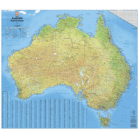
Hema Australia Road & Terrain Wall Map - Supermap
Hema Flinders Ranges Map - Featuring Ikara-Flinder
Hema Australia Wall Map - Handy 745 x 620 mm - Lam
Hema Cape York Map - Featuring the Old Telegraph T