Hema New Zealand Touring Atlas (6th Edition)
Brand: Hema Maps
Part number: 9781925625035
DETAILS
Overview
Plan the perfect New Zealand road trip
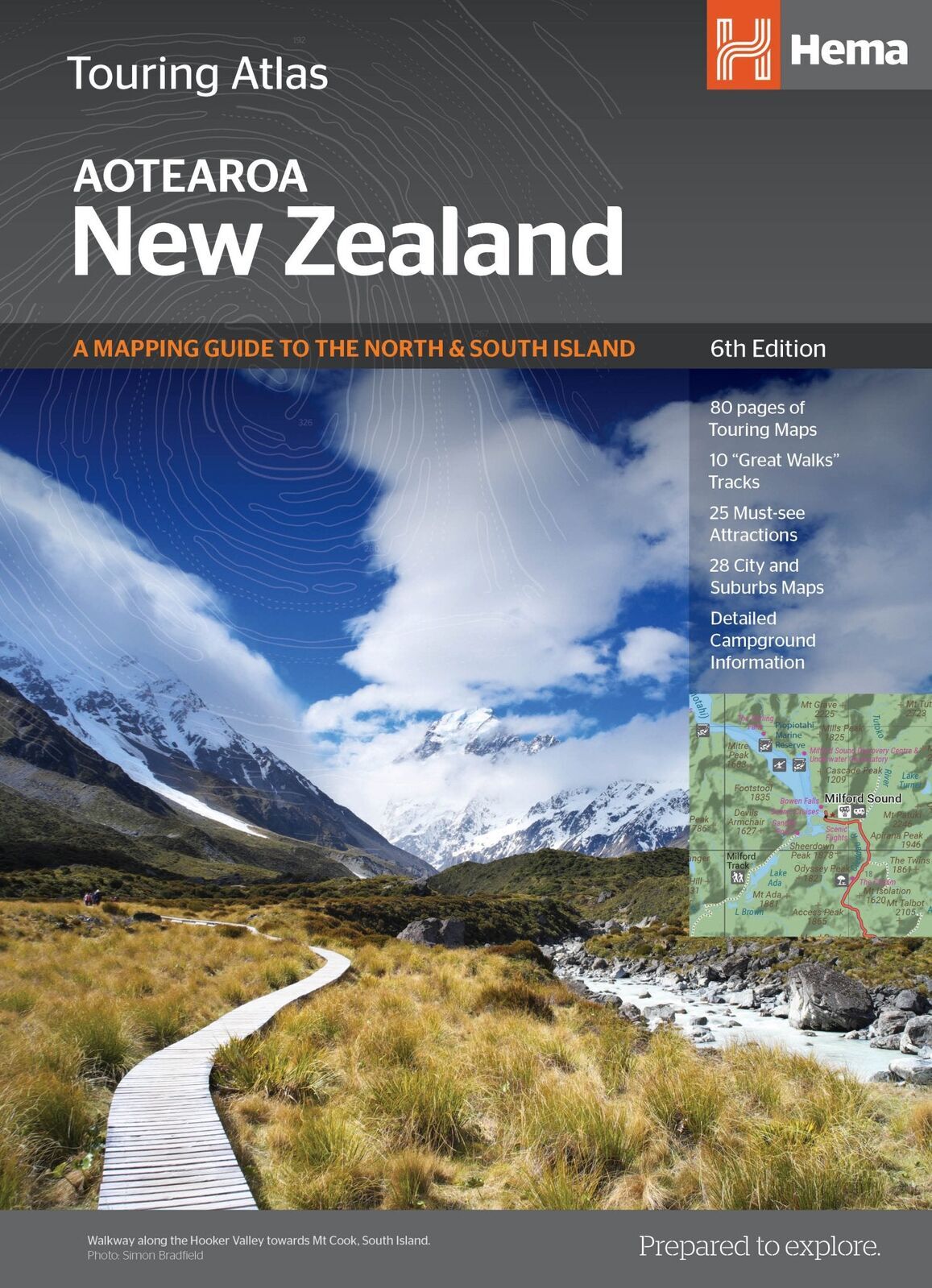
Hema's New Zealand Touring Atlas covers the North and South Islands with clear, up-to-date maps. It is made for campervan, motorhome and car touring, with campgrounds, city maps and the Great Walks all in one book.
Hema Maps has been producing touring maps since 1983. This atlas brings the same easy-to-read style to New Zealand, so you spend less time planning and more time exploring.
What's on the maps
Touring maps for every region
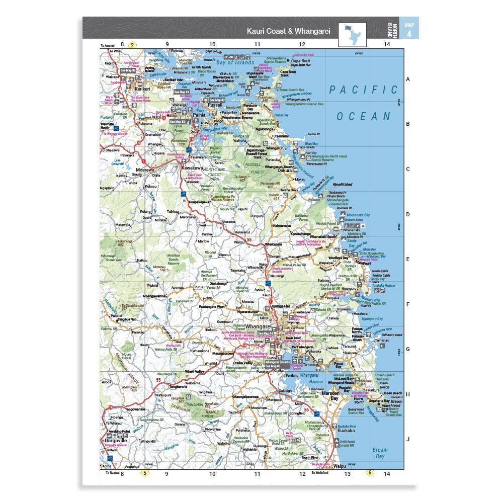
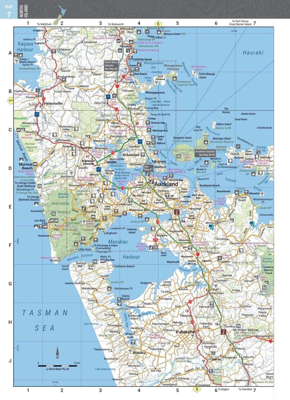
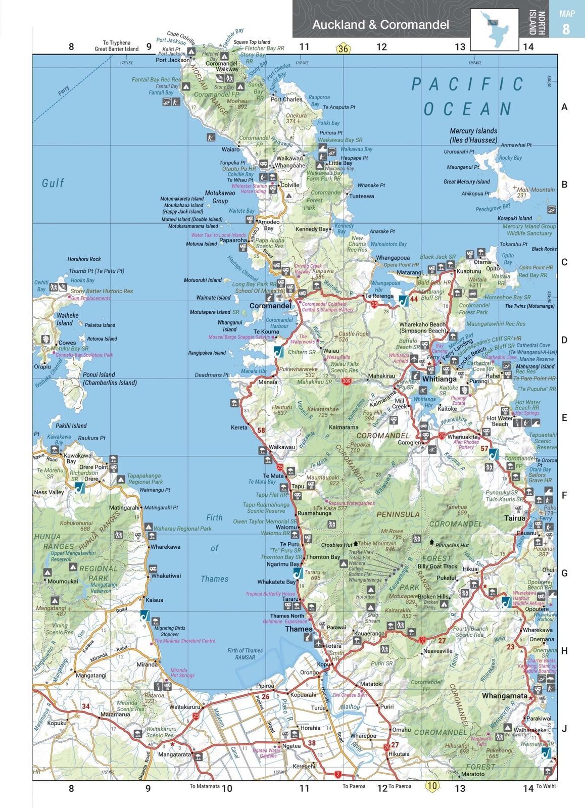
80 pages of touring maps take you from Northland to Southland. Towns, highways, campgrounds and points of interest are clearly marked, with a grid reference on every page.
- ✓North and South Islands covered
- ✓More than 1,500 motorhome parks, camping grounds and activity locations
- ✓Detailed campground information
City maps
Find your way through town
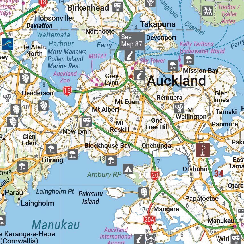
28 city and suburb maps help you get through Auckland and other centres without missing the turn-off to the holiday park, ferry or visitor centre.
- ✓28 city and suburb maps
- ✓Visitor information, ferries and attractions marked
- ✓25 must-see attractions
Get out walking
New Zealand's Great Walks
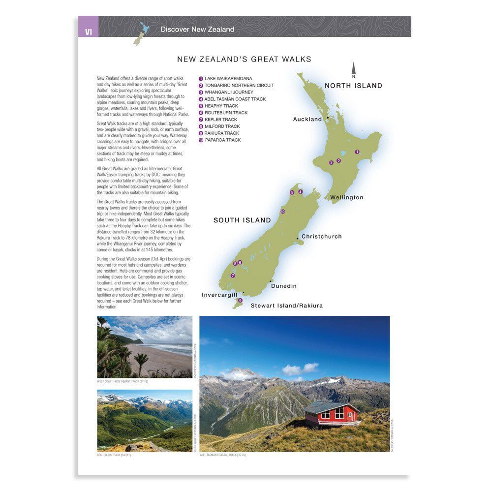
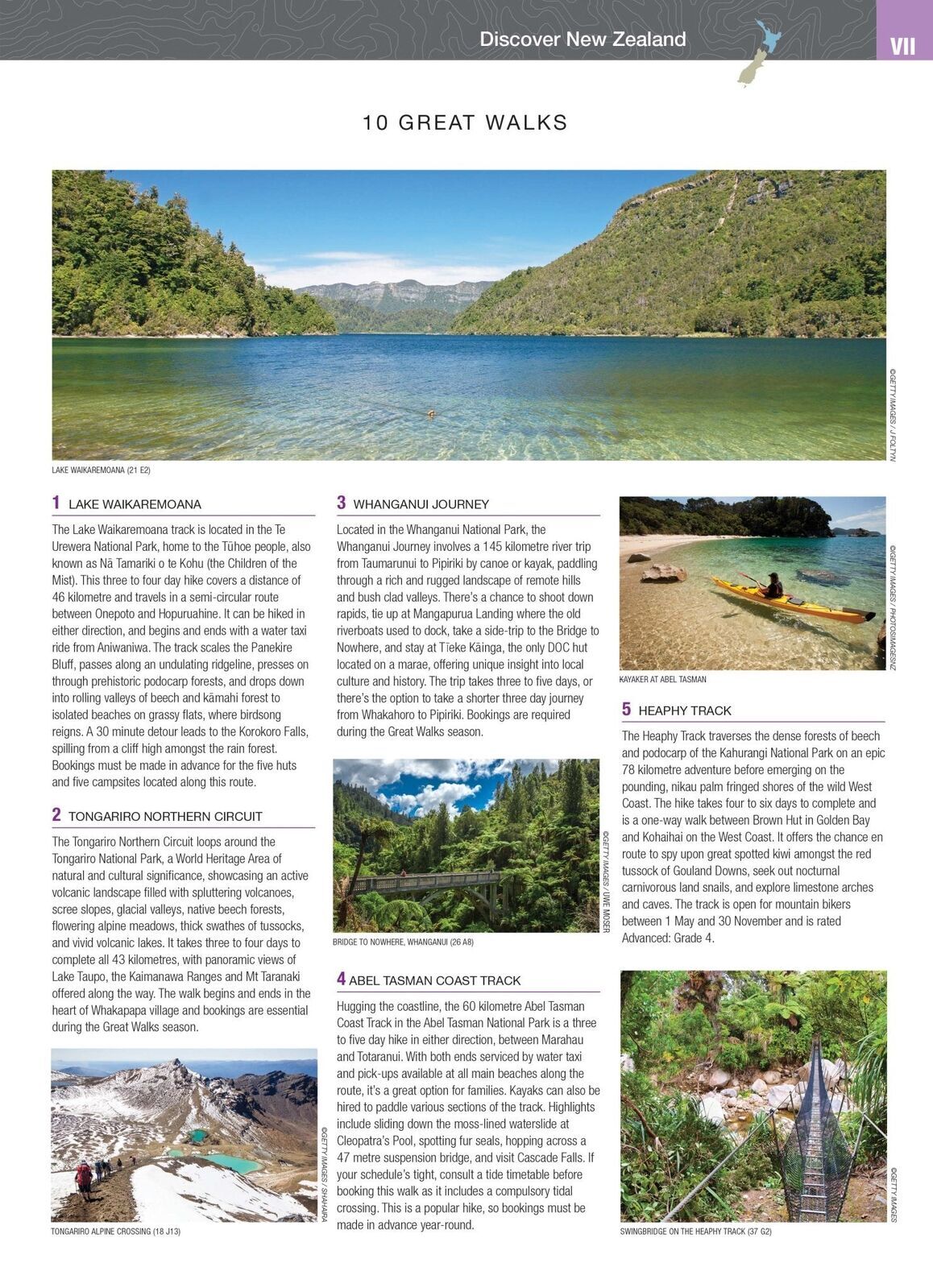
Updated information on 10 Great Walks, from Lake Waikaremoana and the Tongariro Northern Circuit to the Abel Tasman Coast Track and the Heaphy, helps you plan time out of the van.
- ✓10 Great Walks tracks
- ✓National park maps
Frequently asked questions
Does it cover both islands?
Yes. It covers the North Island and the South Island, with 80 pages of touring maps and 28 city and suburb maps.
Does it show campgrounds and holiday parks?
Yes. More than 1,500 motorhome parks, camping grounds and adventure activity locations are included, with detailed campground information.
Which Great Walks are included?
It has updated information on 10 of New Zealand's Great Walks, including Lake Waikaremoana, the Tongariro Northern Circuit, the Abel Tasman Coast Track, the Heaphy Track and the Milford Track.
What is the difference between the Touring and Handy atlases?
Both are 6th edition and list the same key content. The Touring Atlas has larger pages; the Handy Atlas is the compact 190 x 250 mm size.
Pairs well with
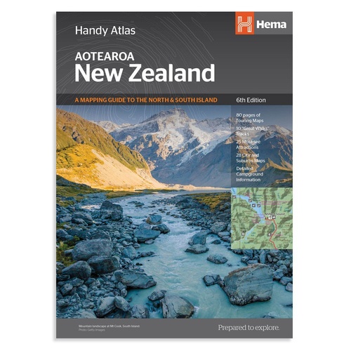
The same 6th edition content in a compact 190 x 250 mm size.
$29.95 · View
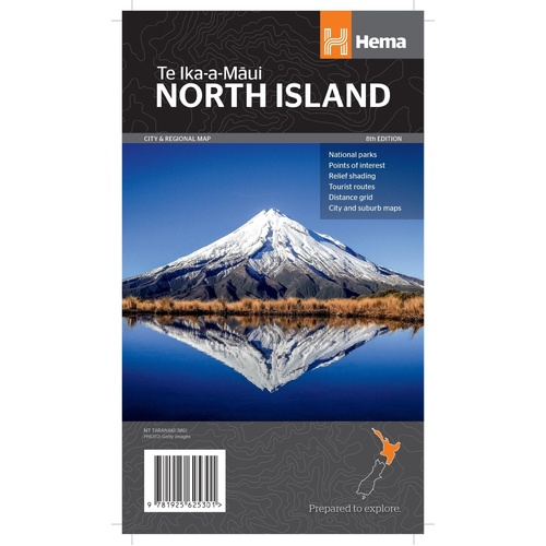
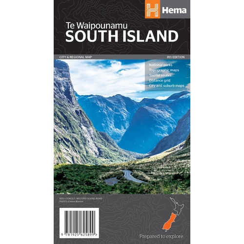
Fold-out Hema touring map of the South Island (Te Waipounamu).
$15.95 · View
Features
- ✓80 pages of touring maps across both islands
- ✓More than 1,500 motorhome parks, camps and activity locations
- ✓Detailed campground information
- ✓28 city and suburb maps
- ✓25 must-see attractions
- ✓10 Great Walks tracks with updated information
- ✓National park maps
- ✓Larger touring-size pages for easy reading
Specifications
Atlas details
| Brand | Hema Maps |
| Title | New Zealand Touring Atlas |
| Edition | 6th |
| ISBN | 9781925625035 |
| Coverage | New Zealand, North and South Islands |
| Weight | 590 g |
What's Included
- ✓1 x Hema New Zealand Touring Atlas (6th edition)
Product Details
| SKU | 9781925625035 |
| Barcode # | 9781925625035 |
| Brand | Hema Maps |
| Shipping Weight | 0.5900kg |
| Shipping Width | 0.140m |
| Shipping Height | 0.005m |
| Shipping Length | 0.250m |
(9781925625035)
Hema Maps began in 1983, when Henry and Margaret Boegheim started laminating marine charts from their family home in South East Queensland, naming the business after the first two letters of their names. It grew into one of Australia's best known publishers of touring and 4WD maps, and the reason ...
Find Out MoreBe The First To Review This Product!
Help other SPC Enterprises Pty Ltd users shop smarter by writing reviews for products you have purchased.
More From This Category
Hema Australia Truckies Atlas (7th Edition)
Hema Where to Camp Guide Australia - 5,500+ Campsi
Hema 4WD + Camping Escapes Perth & the South West
Hema Great Desert Tracks Atlas & Guide (6th Editio
Hema The Kimberley Atlas & Guide (6th Edition) - T