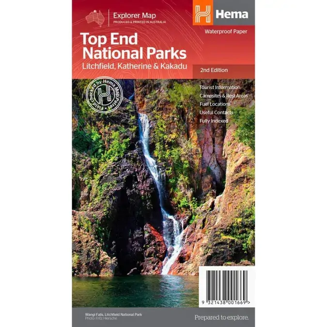
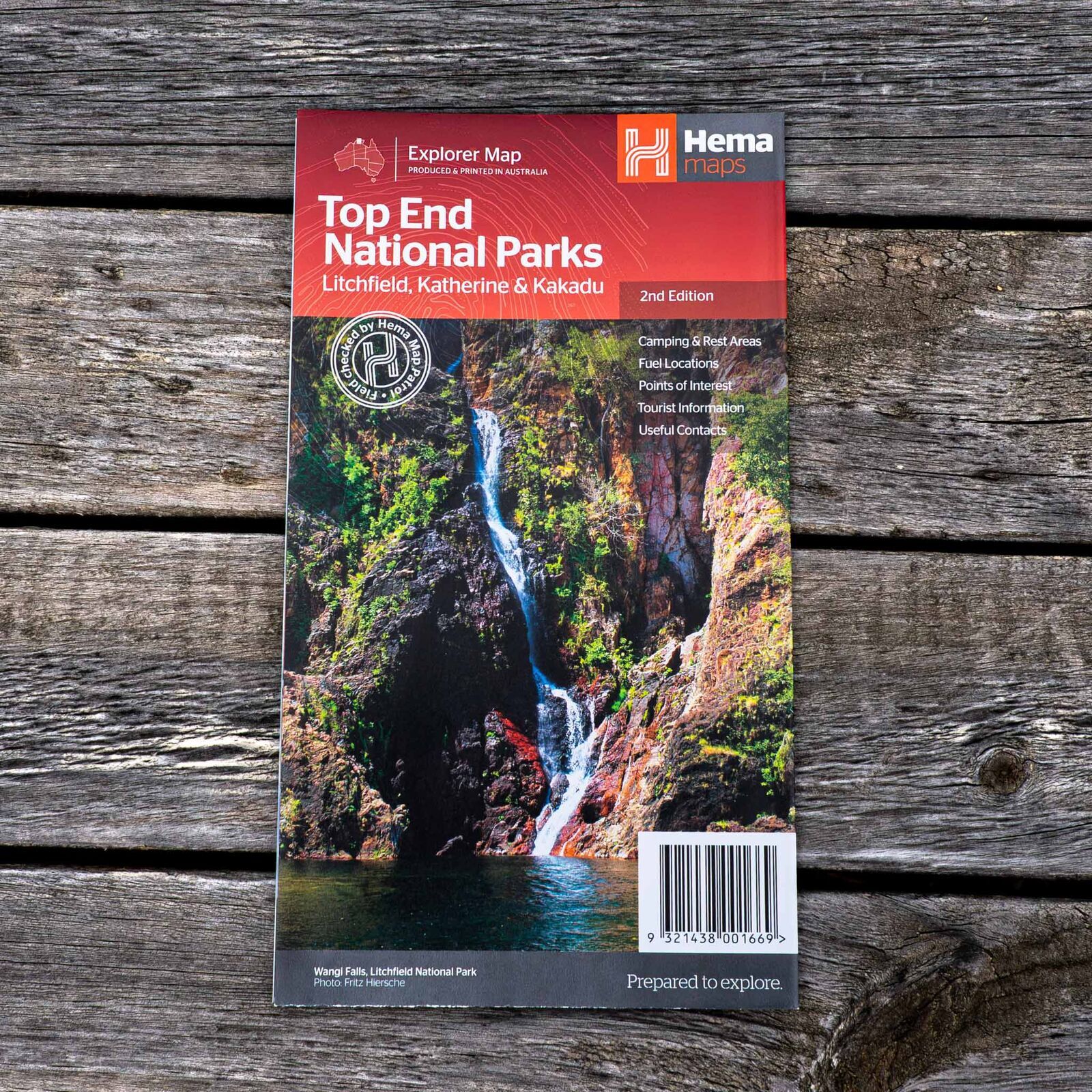
Hema Top End National Parks Map - Litchfield, Katherine & Kakadu (2nd Edition)
Brand: Hema Maps
Part number: 9321438001669
DETAILS
Overview
See the best of the Top End's national parks
Heading to Litchfield's waterfalls, Katherine Gorge or Kakadu? This Hema map puts all three parks on one sheet, with a Darwin region map to link them and touring notes for the drives in between.

Hema Maps has been mapping Australia since 1983, and this map is field checked by the Hema Map Patrol.
What's on the map
Three parks and the Darwin region
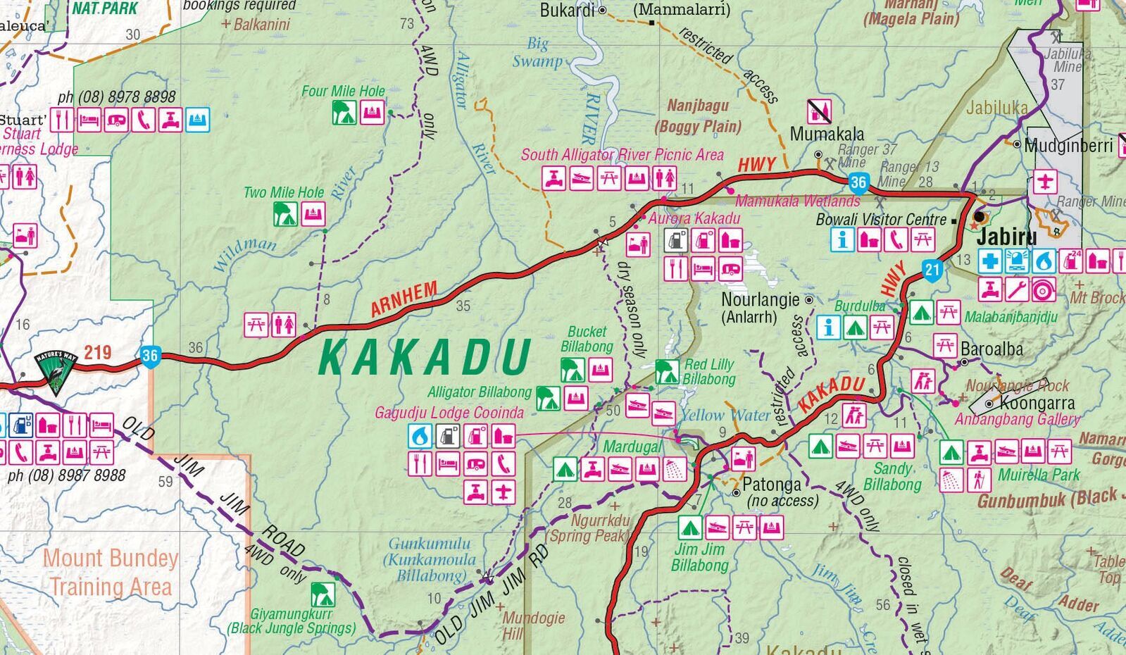
Litchfield is mapped at 1:160,000, Katherine Gorge (Nitmiluk) and Kakadu at 1:350,000, and the Darwin region at 1:850,000. Tourist information covers Darwin and surrounds, the Arnhem Highway to Kakadu, Mary River and the Stuart Highway to Katherine.
- ✓National park facility listings
- ✓Popular tourist routes
- ✓Campsites and rest areas
- ✓Fuel locations, useful contacts and a full index
Frequently asked questions
Which parks are covered?
Litchfield, Katherine Gorge (Nitmiluk) and Kakadu national parks, plus a map of the Darwin region.
What scale are the maps?
Litchfield is at 1:160,000, Katherine Gorge and Kakadu at 1:350,000, and the Darwin region at 1:850,000.
Does it list park facilities?
Yes. It includes national park facility listings and contact details for accommodation and visitor centres in the region.
Does it cover the Gulf and Arnhem Land?
No. For the wider Top End, including Arnhem Land and the Gulf, see the Hema Top End and Gulf map below.
Pairs well with

The wider Top End and Gulf, with national park insets and GPS-surveyed tracks.
$15.95 · View

In-depth guide to touring the Top End and Gulf, with atlas mapping.
$59.95 · View

The whole Territory on one sheet, with Darwin and Alice Springs maps.
$15.95 · View
Features
- ✓Litchfield National Park at 1:160,000
- ✓Katherine Gorge (Nitmiluk) and Kakadu at 1:350,000
- ✓Darwin region map at 1:850,000
- ✓National park facility listings
- ✓Popular tourist routes, campsites and rest areas
- ✓Arnhem Highway, Mary River and Stuart Highway touring info
- ✓Accommodation and visitor centre contacts
- ✓Field checked by the Hema Map Patrol
Specifications
Map details
| Brand | Hema Maps |
| Title | Top End National Parks: Litchfield, Katherine & Kakadu |
| Series | Explorer Map |
| Edition | 2nd |
| Barcode | 9321438001669 |
| Scale | Litchfield 1:160,000; Katherine Gorge and Kakadu 1:350,000; Darwin region 1:850,000 |
| Paper | Waterproof paper |
Size & weight
| Folded size (W x H x D) | 140 x 250 x 3 mm |
| Flat size (W x H) | 700 x 1000 mm |
| Weight | 68 g |
What's Included
- ✓1 x Hema Top End National Parks Map (folded)
Product Details
| SKU | 9321438001669 |
| Barcode # | 9321438001669 |
| Brand | Hema Maps |
| Shipping Weight | 0.0900kg |
| Shipping Width | 0.140m |
| Shipping Height | 0.005m |
| Shipping Length | 0.250m |
(9321438001669)
Hema Maps began in 1983, when Henry and Margaret Boegheim started laminating marine charts from their family home in South East Queensland, naming the business after the first two letters of their names. It grew into one of Australia's best known publishers of touring and 4WD maps, and the reason ...
Find Out MoreBe The First To Review This Product!
Help other SPC Enterprises Pty Ltd users shop smarter by writing reviews for products you have purchased.
More From This Category
Hema Hobart & Region Map - City Map (1st Edition)
Hema Outback Queensland Map - Camooweal to Stantho
Hema South Island New Zealand Map - Te Waipounamu
Hema South Australia State Map (8th Edition)
Hema Australia Road & Terrain Wall Map - Supermap
Hema Flinders Ranges Map - Featuring Ikara-Flinder
Hema Australia Wall Map - Handy 745 x 620 mm - Lam