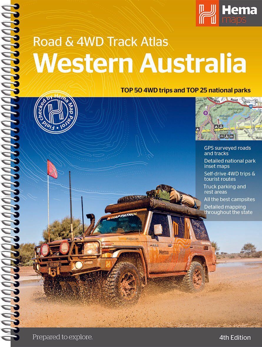
Hema Western Australia Road & 4WD Track Atlas (4th Edition)
Brand: Hema Maps
Part number: 9781922668875
DETAILS
Overview
Every corner of WA, road and track
Australia's biggest state needs a proper atlas. This one maps the whole of Western Australia, with detailed 1:250,000 coverage, the Top 50 4WD trips and the Top 25 national parks, so you can plan the big trip and navigate it on the ground.
Hema Maps has been mapping Australia since 1983, and its Map Patrol team drives the roads and tracks to field-check the mapping first-hand.
4WD trips & national parks
Know the track before you go
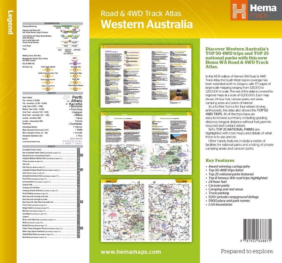
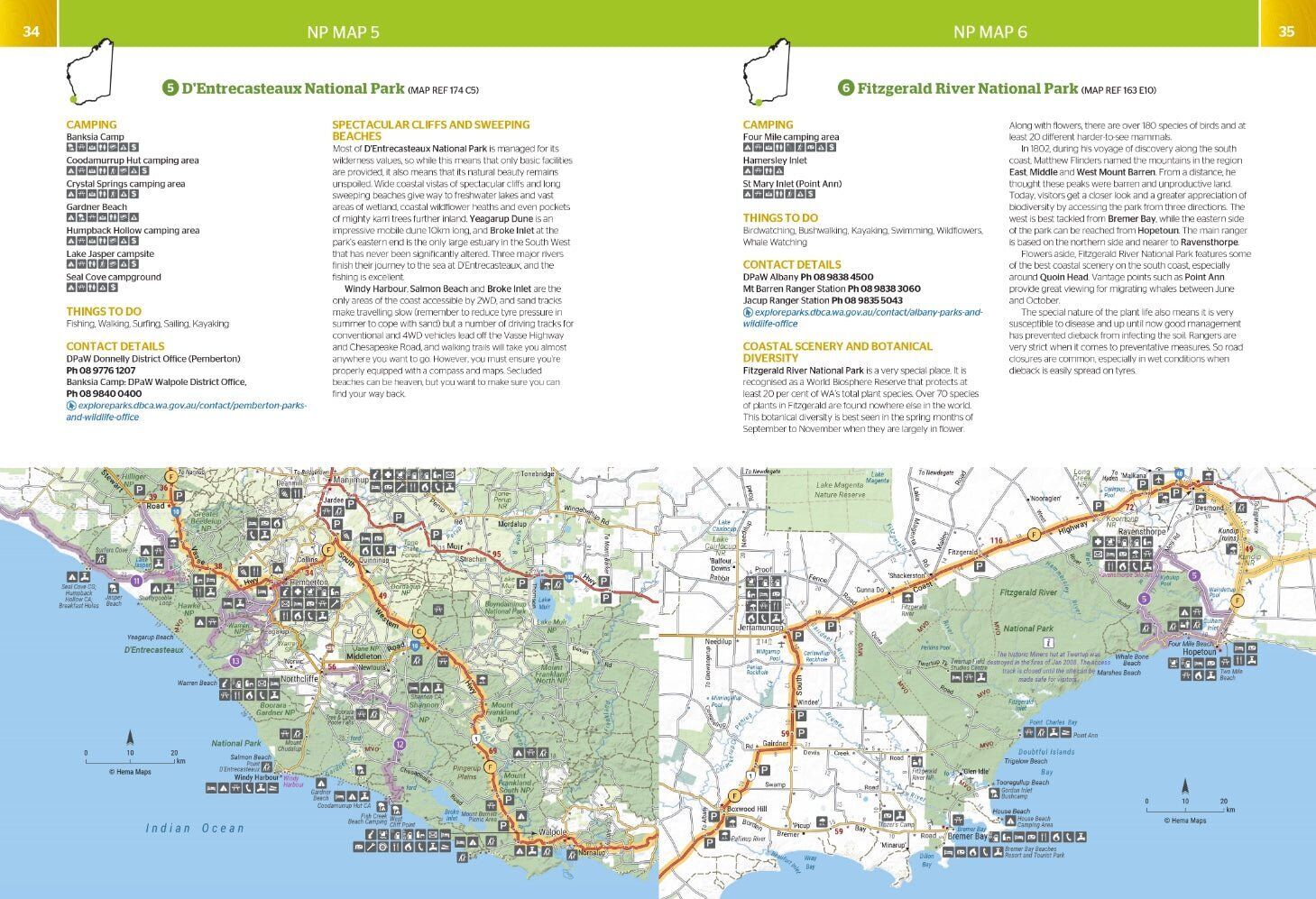
Each of the Top 50 4WD trips comes with a track grading, distances, contact information and an atlas reference. The Top 25 national parks get their own pages with camping areas, activities, contact details, inset maps and what makes each park special.
- ✓Top 50 4WD trips with grading and distances
- ✓Top 25 WA national parks with inset maps
- ✓Camping areas and activities in each park
Atlas mapping
Detail across the whole state
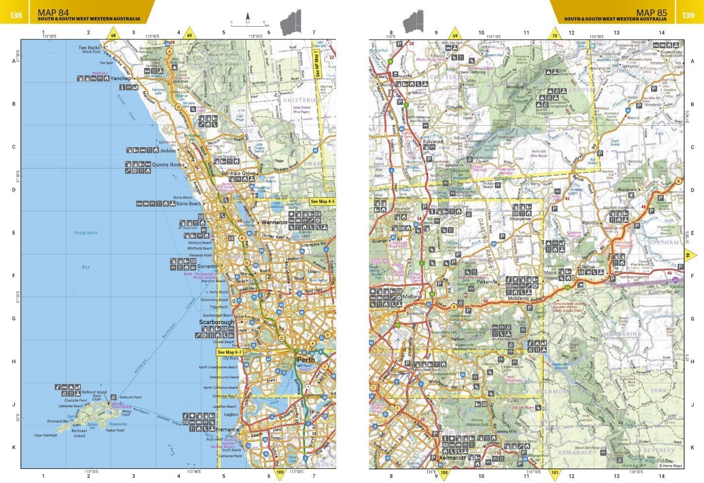
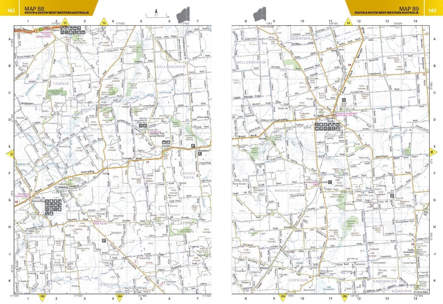
Detailed topographic mapping at 1:250,000 covers the state, from the South West to the Kimberley. Caravan parks, dump points, camping and rest areas, truck parking and visitor centres are marked right on the maps.
- ✓Caravan parks and dump points
- ✓Camping areas and rest areas
- ✓Truck parking and visitor centres
Plan the trip
Find a place to stay
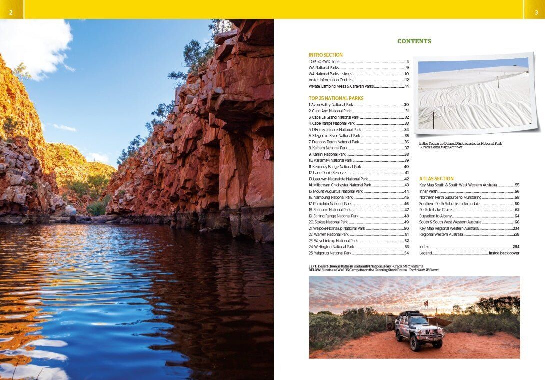
A listing of private camping areas and caravan parks gives you more choice of where to stop, and a full index and list of accredited visitor centres make it quick to find your way around the book.
- ✓Private camping areas and caravan parks listed
- ✓Fully indexed
- ✓Spiral bound
Frequently asked questions
Which edition is this?
This is the 4th edition (ISBN 9781922668875), with 211 pages.
Does it cover the Kimberley and the Pilbara?
Yes. The atlas maps the whole state, and the 4WD trips and national parks run from the South West to the Pilbara and the Kimberley.
Is it good for caravanners?
Yes. Caravan parks, dump points, camping and rest areas, truck parking and visitor centres are marked, and private camping areas and caravan parks are listed.
How big is it?
It is 228 x 298 mm, spiral bound, and weighs about 1.14 kg.
Pairs well with

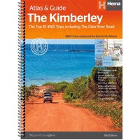
Top 10 4WD trips in the Kimberley, including the Gibb River Road.
$49.95 · View


Features
- ✓Top 50 WA 4WD trips with grading, distances and atlas references
- ✓Top 25 WA national parks with inset maps
- ✓Detailed state-wide mapping at 1:250,000
- ✓Caravan parks and dump points
- ✓Camping and rest areas
- ✓Private camping areas listed
- ✓Truck parking
- ✓Accredited visitor centres
- ✓Fully indexed
- ✓Spiral bound
Specifications
Atlas details
| Brand | Hema Maps |
| Title | Western Australia Road & 4WD Track Atlas |
| Edition | 4th |
| ISBN | 9781922668875 |
| Pages | 211 |
| Detailed mapping scale | 1:250,000 |
| Coverage | Western Australia |
| Binding | Spiral bound |
Size & weight
| Size (W x H) | 228 x 298 mm |
| Weight | 1.14 kg |
What's Included
- ✓1 x Hema Western Australia Road & 4WD Track Atlas (4th edition)
Product Details
| SKU | 9781922668875 |
| Barcode # | 9781922668875 |
| Brand | Hema Maps |
| Shipping Weight | 1.1400kg |
(9781922668875)
Hema Maps began in 1983, when Henry and Margaret Boegheim started laminating marine charts from their family home in South East Queensland, naming the business after the first two letters of their names. It grew into one of Australia's best known publishers of touring and 4WD maps, and the reason ...
Find Out MoreBe The First To Review This Product!
Help other SPC Enterprises Pty Ltd users shop smarter by writing reviews for products you have purchased.
More From This Category
Hema Australia Truckies Atlas (7th Edition)
Hema Where to Camp Guide Australia - 5,500+ Campsi
Hema 4WD + Camping Escapes Perth & the South West
Hema Great Desert Tracks Atlas & Guide (6th Editio
Hema The Kimberley Atlas & Guide (6th Edition) - T